The Sant Josep Hill
A rocky promontory located at the point where the Sant Josep River emerges from the Serra d’Espadà, surrounded by the Belcaire valley and linked to the Cova de Sant Josep.
169 m
Hill altitude
Belcaire
Valley and river surrounding the hill
20 m
Approximate vertical cliff on the western side
A natural lookout over the Belcaire valley
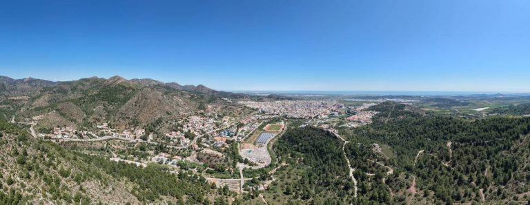
The Sant Josep hill is located within the municipality of La Vall d’Uixó, on the left bank of the Sant Josep or Belcaire River, right at the point where the river emerges from the Serra d’Espadà into the valley where the town is located.
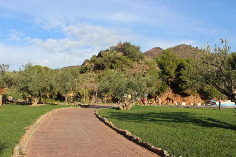
It has an altitude of 169 m and an oval cone shape with irregular slopes. On the western side there is a steep slope where the bedrock emerges, on the southern side there is a cliff, while on the eastern side the slope is relatively gentle, where the terraces built for the cultivation of carob and olive trees are preserved.
Only the northern area is connected to the southern slope of the Alteró de Sumet. Meanwhile, the western, southern and eastern slopes remain isolated, surrounded by the river valley.
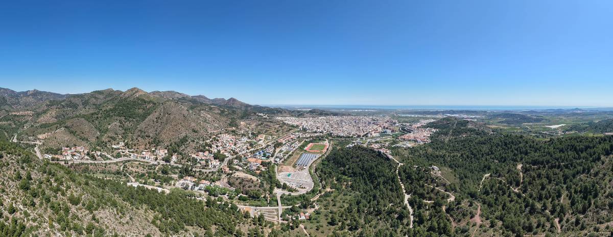
Rock, slope and cliff at the foot of the Serra d’Espadà
The shape of the hill explains much of its landscape and archaeological interpretation.
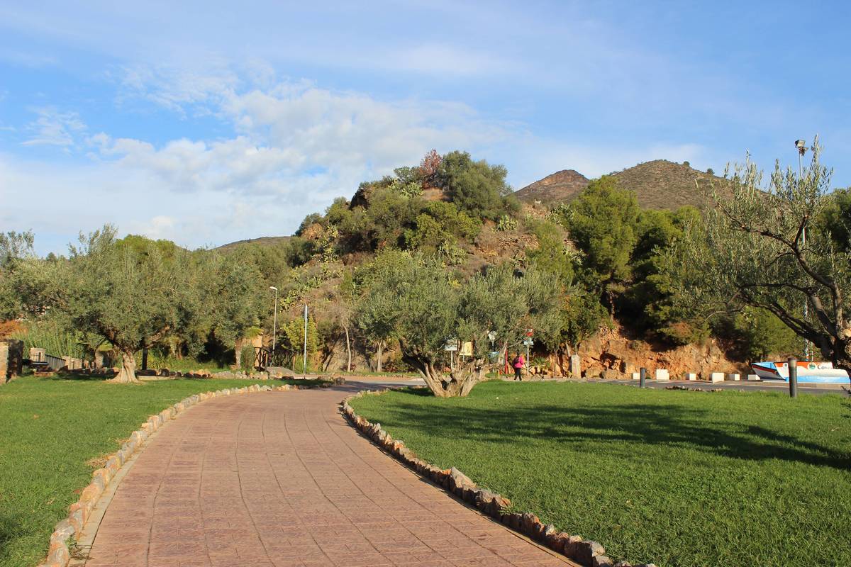
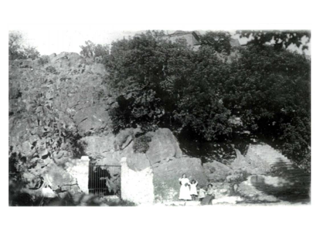
The formation is characterised by being a rocky outcrop surrounded by the Belcaire River. The western face features a vertical cliff around twenty metres high, extending along the western and southern sides.
On the eastern side there is a steep slope. Meanwhile, on the northern side it is separated from the area where the hermitage is located by a depression, giving it the appearance of an isolated promontory.
Limestone rock and the Cova de Sant Josep
The geological structure of the hill is formed by Triassic limestone rock, Muschelkalk facies of a dolomitic type, forming thick well-jointed strata with intense karstification.
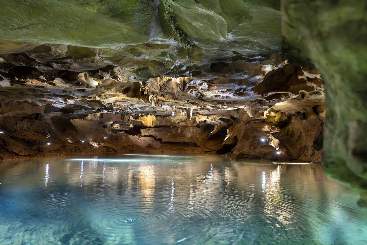
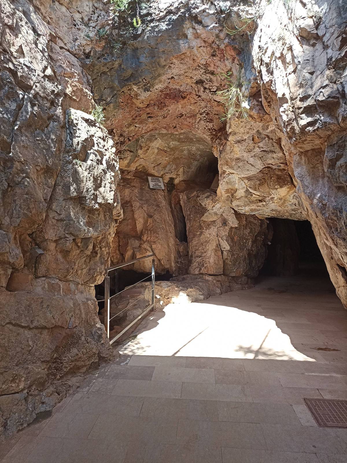
A notable example of this limestone dissolution phenomenon can be found at the foot of the cliff itself, where the well-known Cova de Sant Josep opens up, a high-flow vauclusian spring through which the underground river, also called Sant Josep, emerges.
The Cova de Sant Josep is the most visible expression of the relationship between limestone rock, underground water and the Belcaire landscape.
From traditional agriculture to the present-day urbanised environment
Today we find ourselves in a highly urbanised area, but until the 1950s the activity that shaped the landscape was dryland farming, with olive and carob trees on the slopes of the hills. In the river valley, irrigated crops predominated, such as orange groves, especially around the irrigation channel that carried water from the Font de Sant Josep to the town.
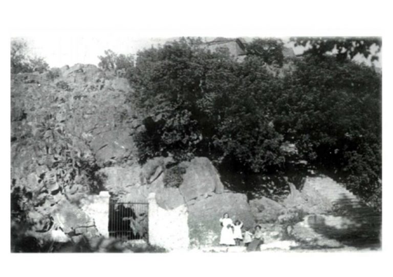
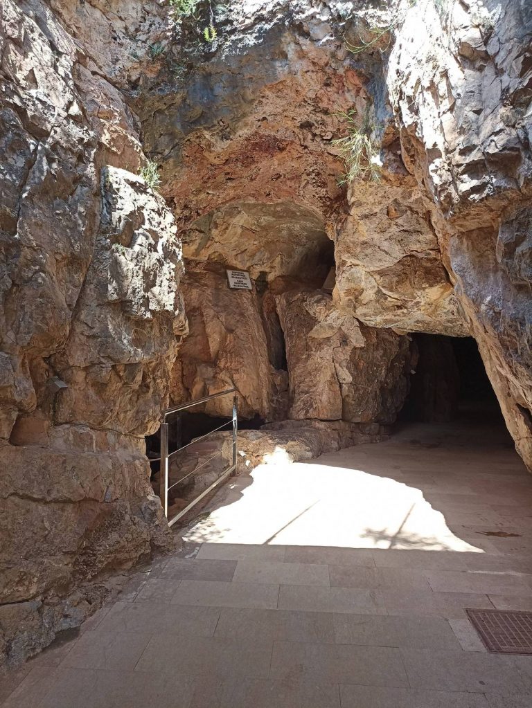
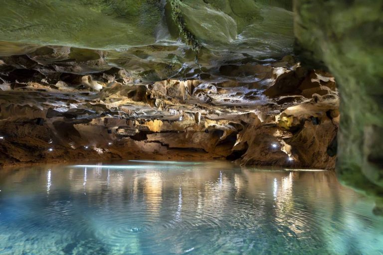
Reference images of the Muntanyeta
This collection of images allows visitors to observe different views of the Sant Josep Hill and its immediate surroundings: the Belcaire River valley, the access points to the Cova de Sant Josep and several spaces linked to the natural and heritage landscape of the area. The photographs help visually contextualise the location, the shape of the hill and the relationship between the Muntanyeta, the cave and the surrounding territory.