Historical context
A chronological journey through the different phases of occupation documented on the Sant Josep hill and its surroundings, from the first Paleolithic evidence to the contemporary use of the place.
Timeline of the territory
The information is structured by periods so that the digital visit allows us to understand the evolution of human occupations, the transformations of the landscape and the relationship between the caves, the hill, the Village and the Séquia Major.
1.
Upper Paleolithic40,000–10,000 BCE
2.
Epipalaeolithic – Mesolithic10,000–7,000 BCE
3.
Neolithic – Chalcolithic6,000–2,000 BCE
4.
Bronze Age2nd millennium BCE
5.
Early Iron Age8th–6th centuries BCE
6.
Iberian Period6th–1st centuries BCE
7.
Roman PeriodRomanisation and Late Empire
8.
Middle Ages9th–10th centuries
9.
Early Modern Period1609 and 17th–18th centuries
10.
Contemporary Period20th century – present day
40,000–10,000 BCE
1. Paleolític Superior
The Upper Paleolithic period took place approximately between 40,000 and 10,000 BCE, at the end of the Late Pleistocene geological epoch, coinciding with the Würm III and IV glacial stages and a brief interglacial period. It is characterised by the appearance of Homo sapiens sapiens in Europe, featuring a lithic industry worked on flakes and the onset of bone tool technology.
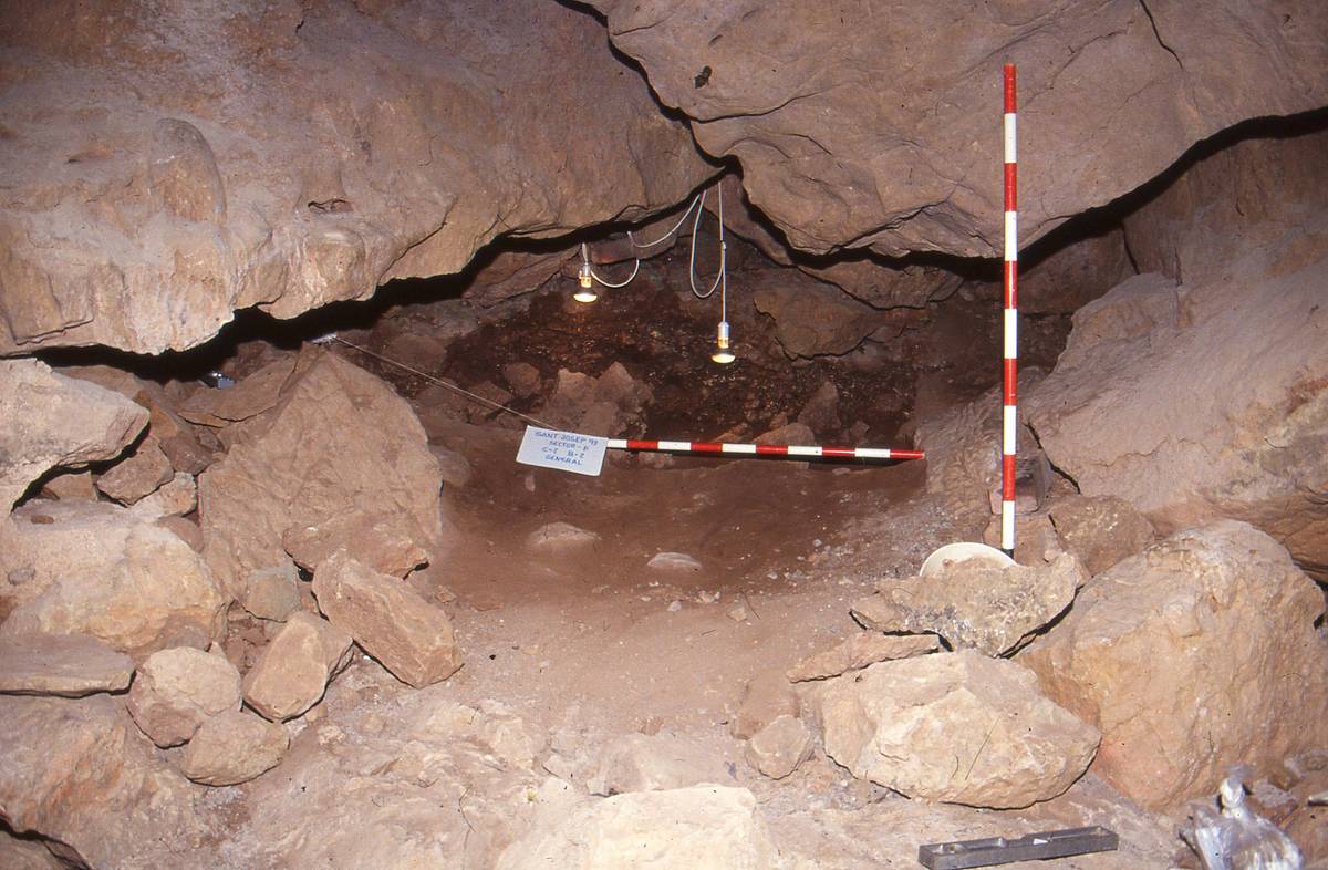
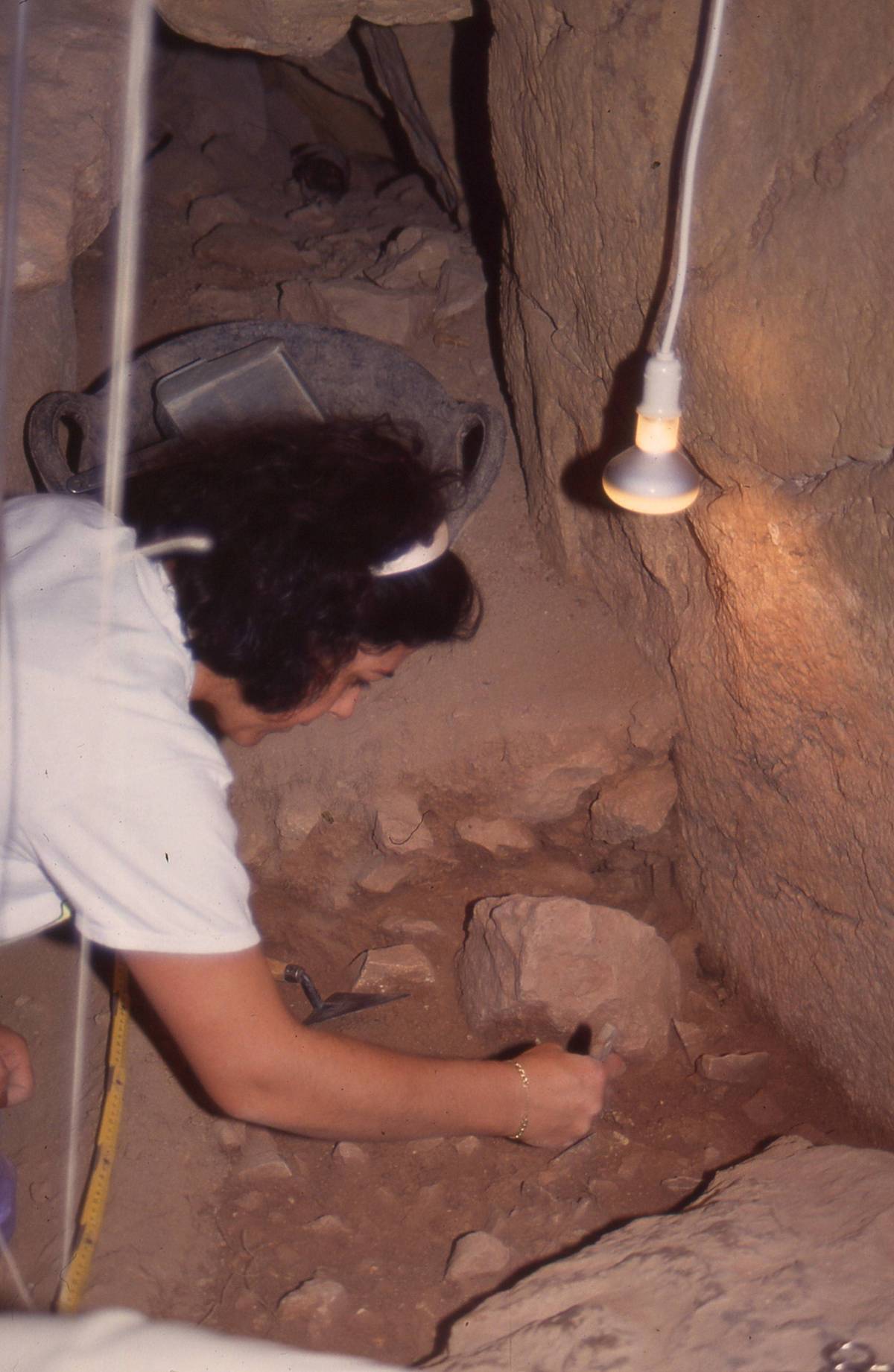
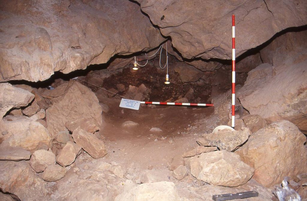
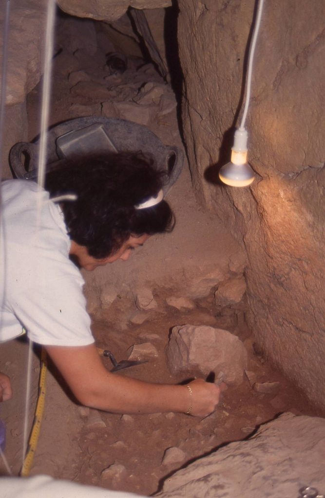
The earliest documented human occupation in La Vall d’Uixó is located at the Muntanyeta de Sant Josep, specifically inside the Cova de Sant Josep at the foot of the hill. Archaeological excavations in 1993 documented an occupation dated to 16,240 + 630 BP (Before Present), linked to the last Solutrean societies of the Upper Paleolithic.
During a relatively mild and humid period, a human group with an economy based on hunting and gathering used the Cova de Sant Josep as a living space, leaving behind an archaeological record of lithic and bone industries, as well as animal remains, mainly deer, wild goats, and rabbits.
The subsequent occupation phase is linked to the Magdalenian culture, dating to 12,950 BP, under colder and drier climatic conditions. Regional studies have identified a seasonal, hierarchical land-use model where human groups sought a highly intensive exploitation of resources. Thus, the Cova de Sant Josep functioned as a central base where the available resources could satisfy most of the group's needs, supplemented by the specialized exploitation of nearby enclaves where secondary camps were set up, such as the Cova dels Blaus.
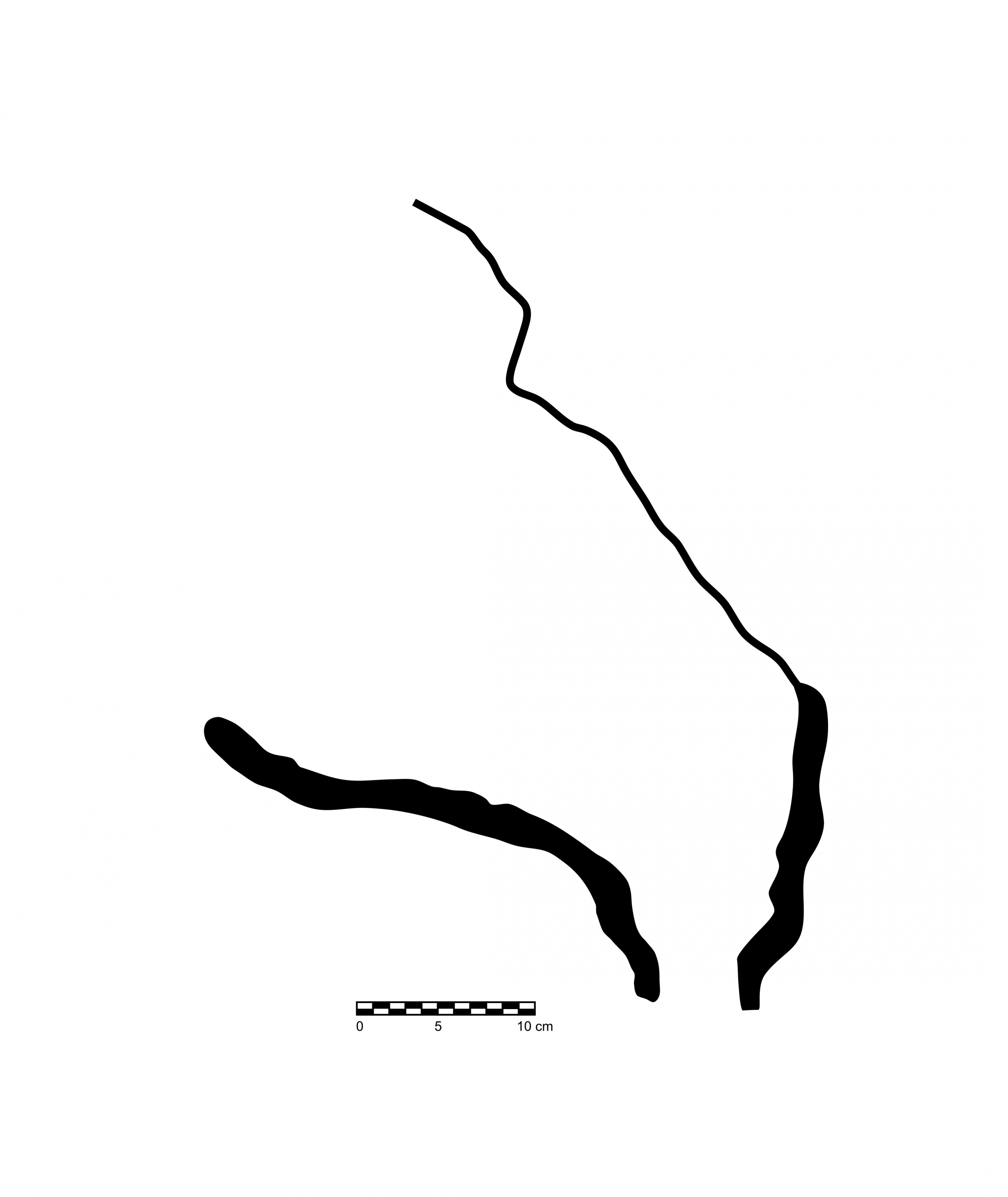
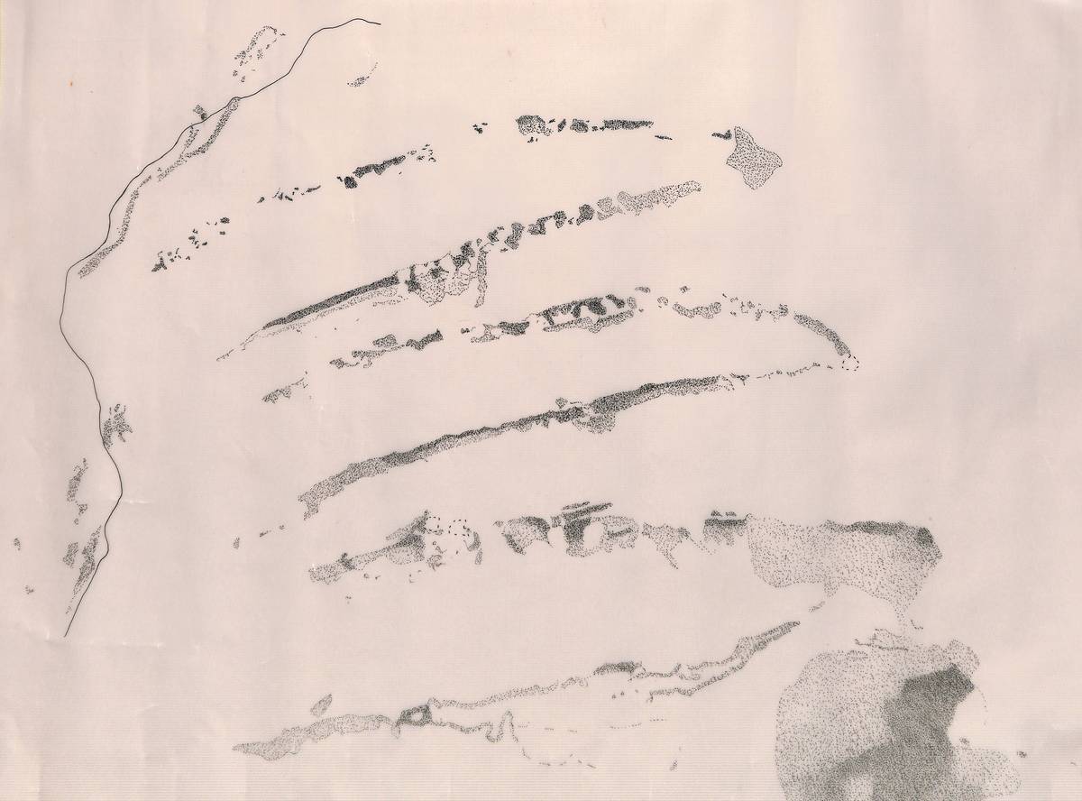
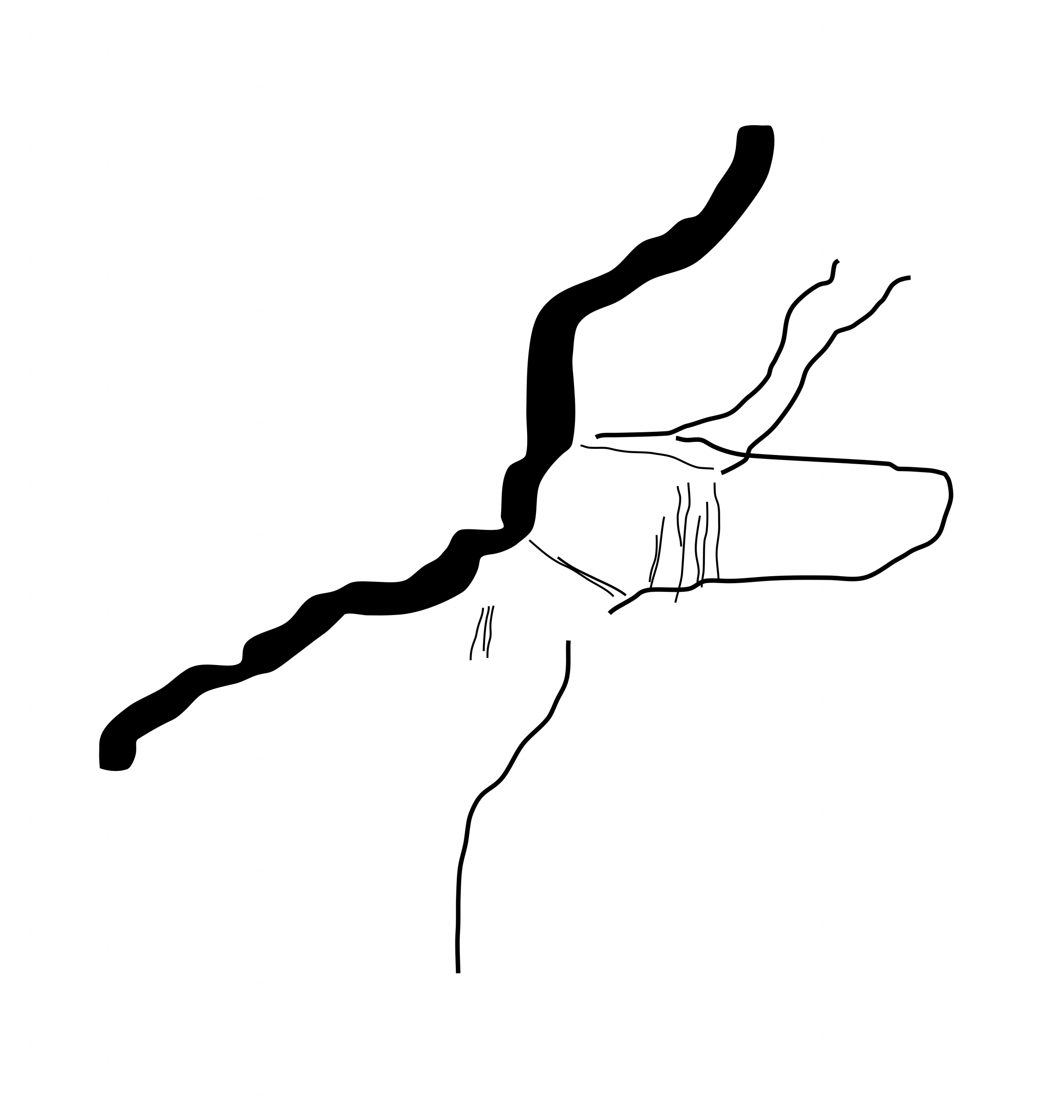
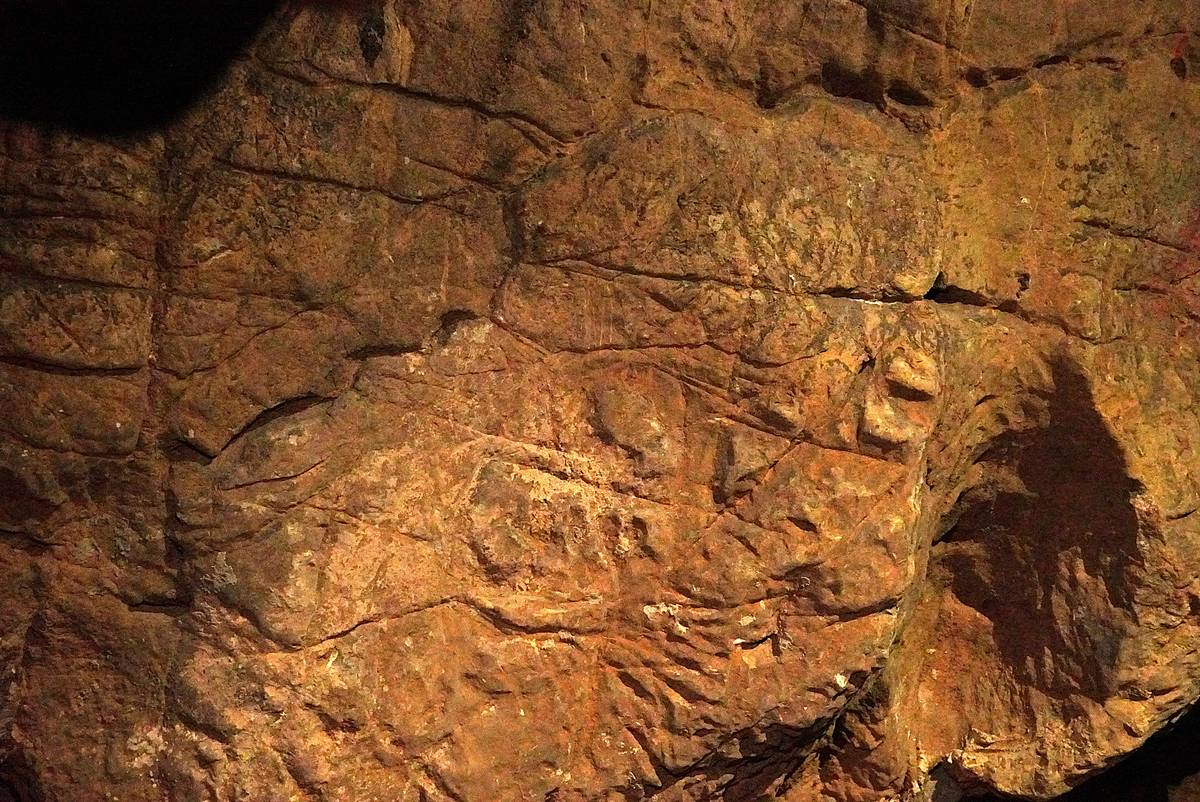
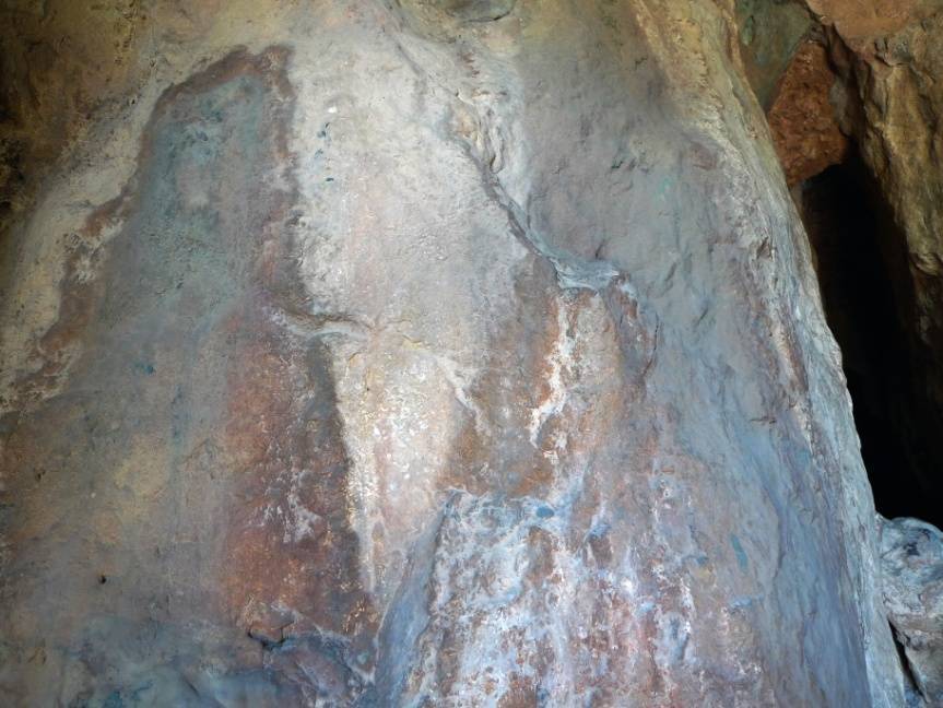
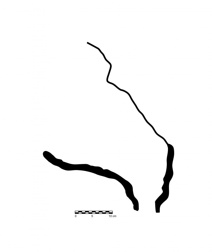
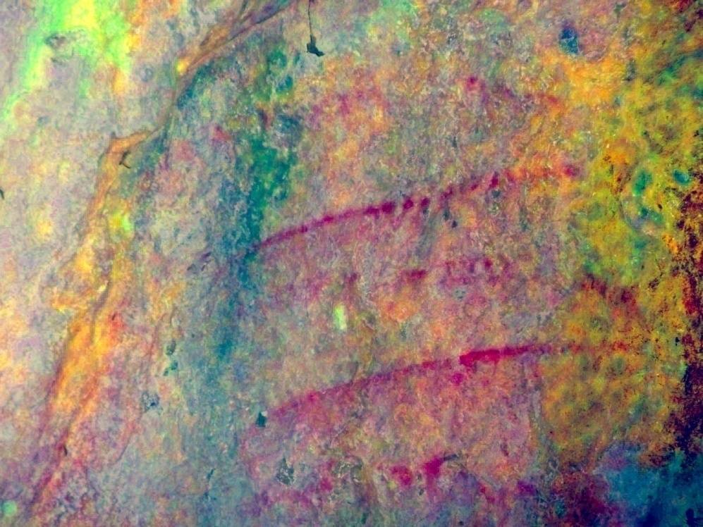
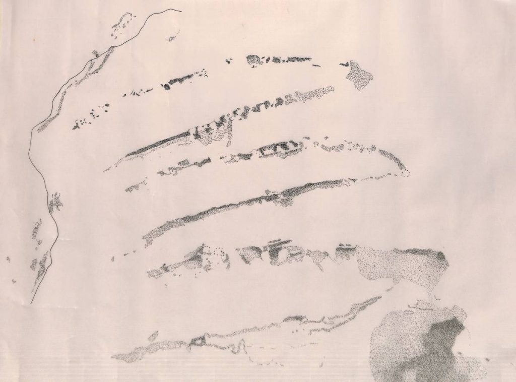
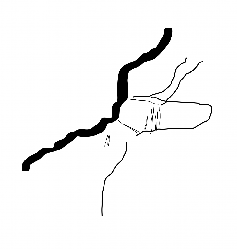
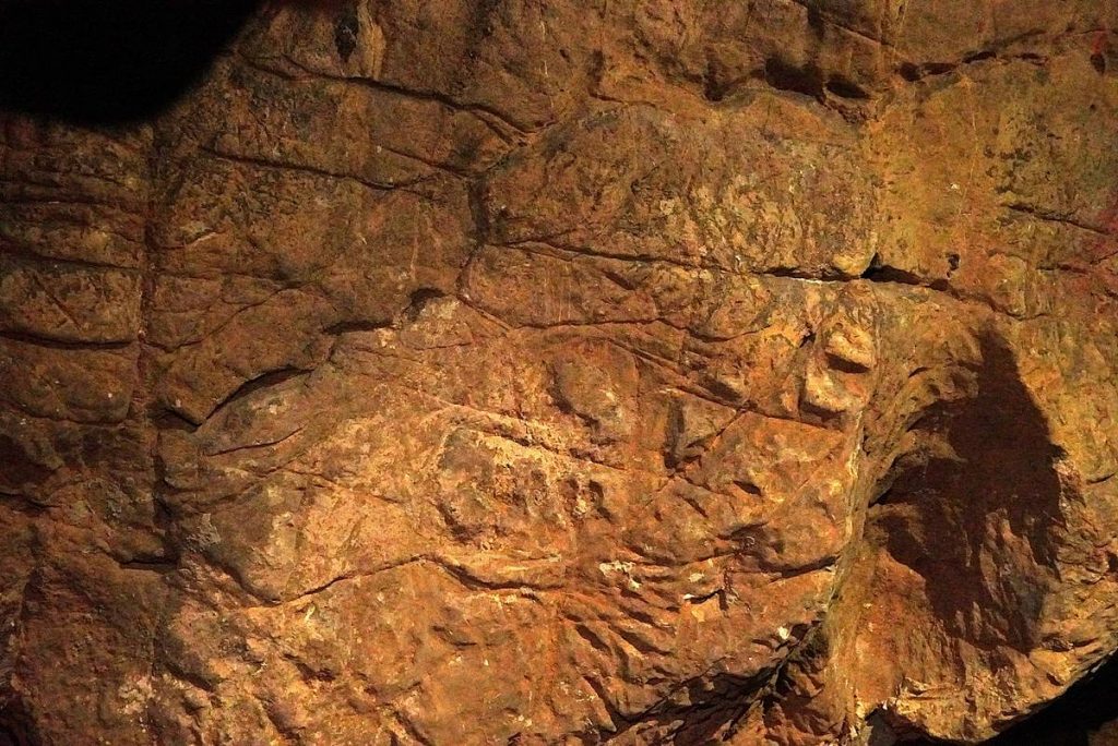
The Cova de Sant Josep features several examples of Paleolithic rock art. Near the entrance, there is an engraved equid head that incorporates the natural shape of the rock. Rendered in profile, the head has an open, downward-sloping mouth. This style of depiction is documented at various sites and is linked to a pre-Magdalenian phase. Above the horse, there is a meandric sign painted in red, of uncertain chronology. Finally, next to the current boat pier, there is an engraving of a bovid, also shown in profile, which utilizes the natural fissures of the rock.
Images of the Cova de Sant Josep (Upper Paleolithic)
10,000–7,000 BCE
2. Epipalaeolithic – Mesolithic
The Epipaleolithic-Mesolithic period spans roughly from 10,000 and 7,000 BCE. This post-glacial phase began with a moderate warming of the climate (Pre-Boreal) followed by a temperate climate period, similar to today's, with higher humidity levels (Boreal). The coastline gradually rose to current levels, and much of the landscape became covered with temperate forests.
Hunting and gathering remained widespread practices. Tool industries shifted: bone and antler tools declined until they disappeared, replaced by a diverse microlaminar lithic repertoire designed for hafting. Notable trends included the consumption of marine resources, the hunting of medium and small animals, and plant gathering.
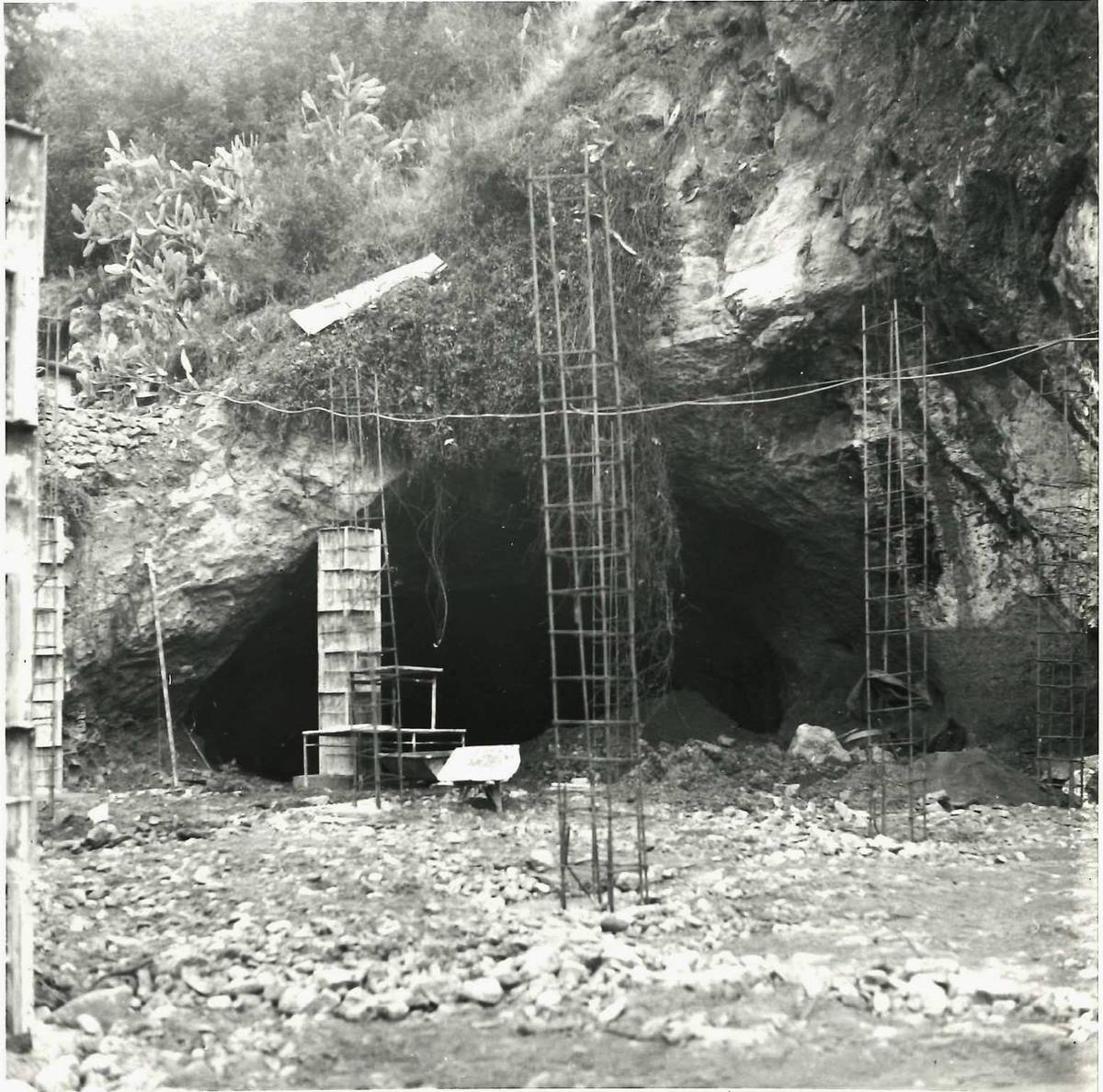
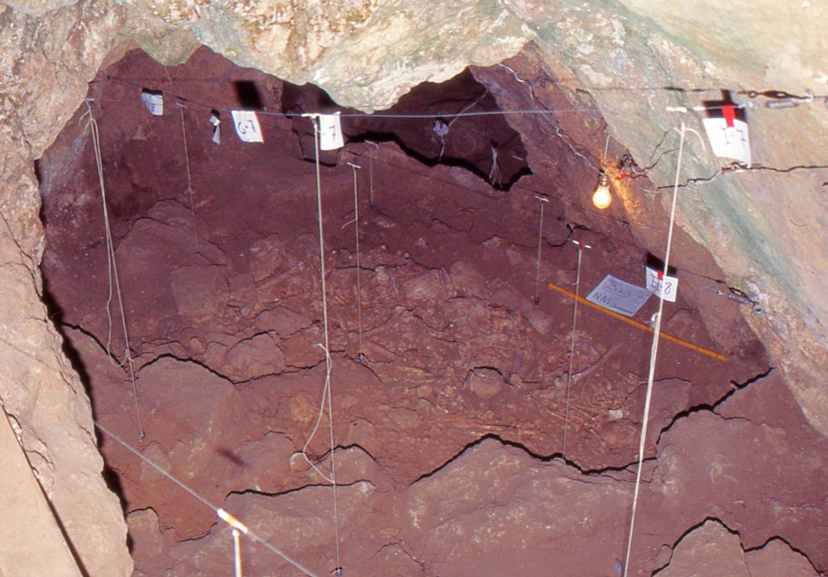
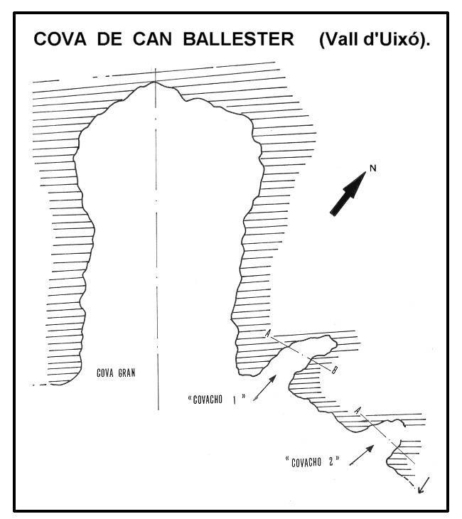
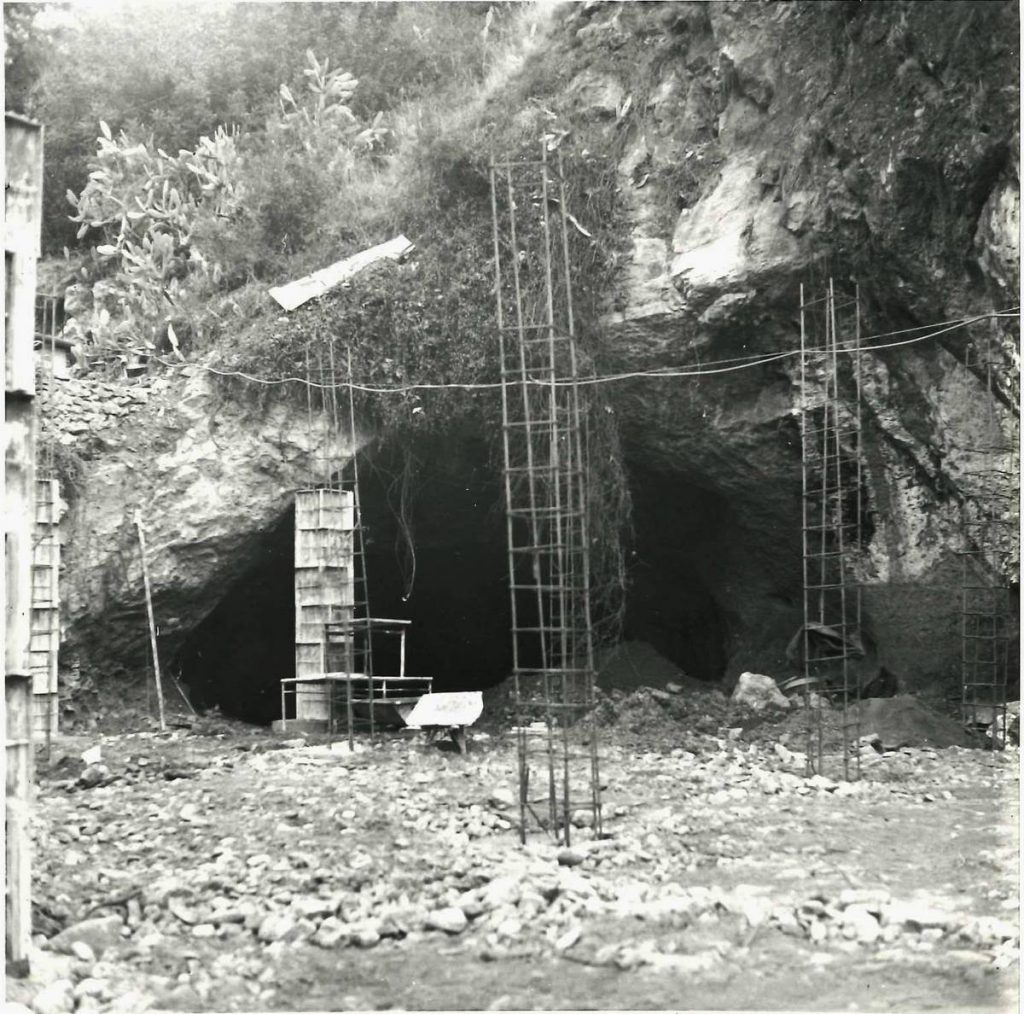
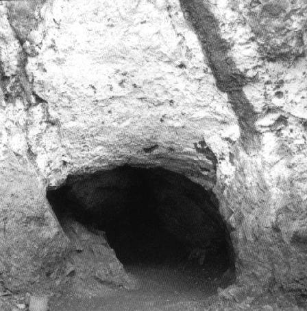
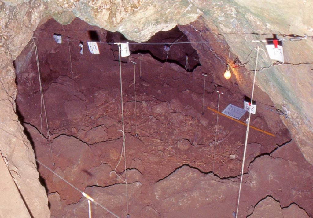
This phase was documented in the Cova de Can Ballester, which sits adjacent to and was interconnected with the Cova de Sant Josep, specifically during the late phase known as the Geometric Mesolithic (8,200–7,000 BCE). Regrettably, the archaeological record of Can Ballester was destroyed in the 1970s when it was mechanically emptied without any archaeological oversight, meaning only scattered materials could be salvaged However, an emergency excavation of two small side caves subsequently established the occupation sequence, proving that it was inhabited across multiple historical stages: Epipaleolithic, Neolithic, Chalcolithic, Bronze Age, and the Iberian Period.
Regional studies for this period indicate a non-hierarchical seasonal model characterized by diversified resource exploitation. Groups were highly mobile but operated within small territories, intensively utilizing the resources immediately surrounding their settlement. The occupation of the Cova dels Blaus, located about 5 km from Can Ballester, was also of notable importance during this era.
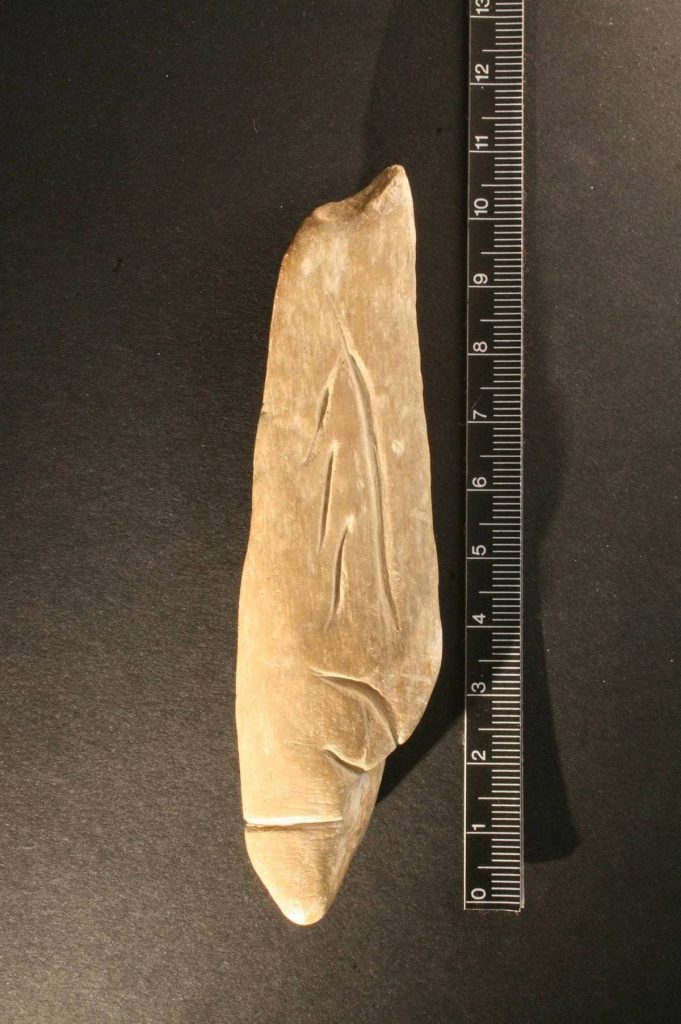
Images of the Cova Gran de Can Ballester (Epipalaeolithic)
6,000–2,000 BCE
3. Neolithic – Chalcolithic
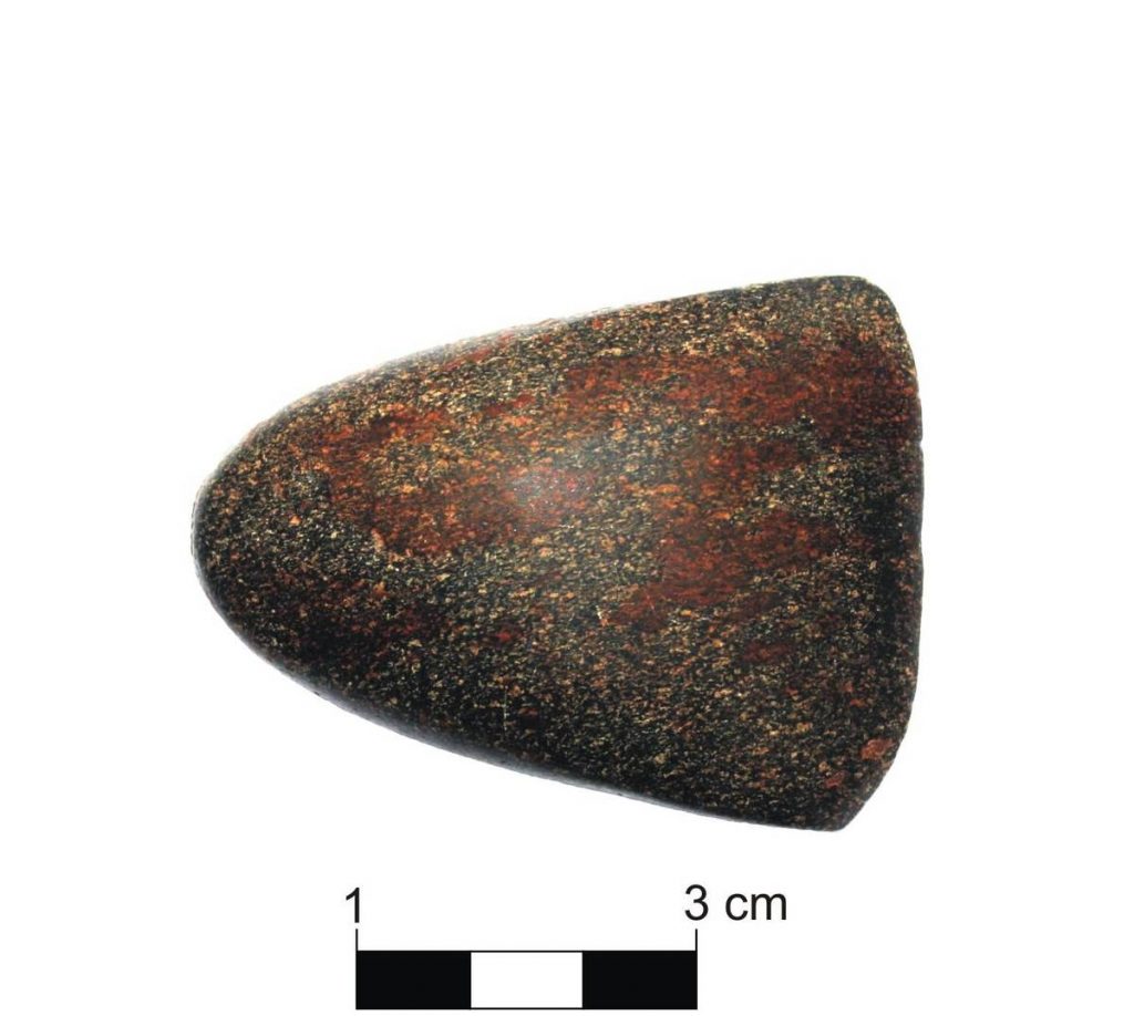
The Neolithic is known as the era when agriculture and livestock farming became established in a territory. It is now recognized that this process occurred independently across different parts of the globe where ideal conditions existed. It was a slow transition taking place between 6,000 and 3,400 BCE. The Neolithic brought major technological and economic innovations, introducing food production systems alongside new materials like pottery and polished stone.
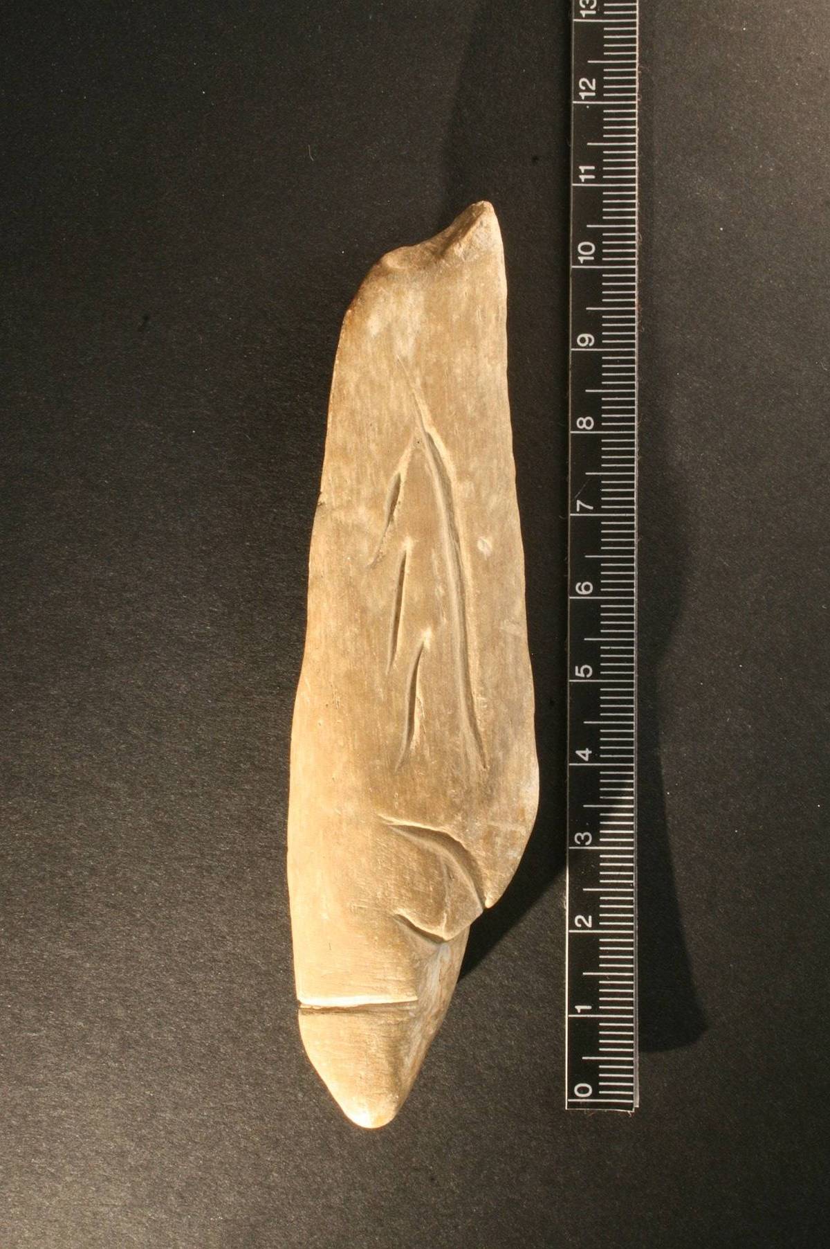
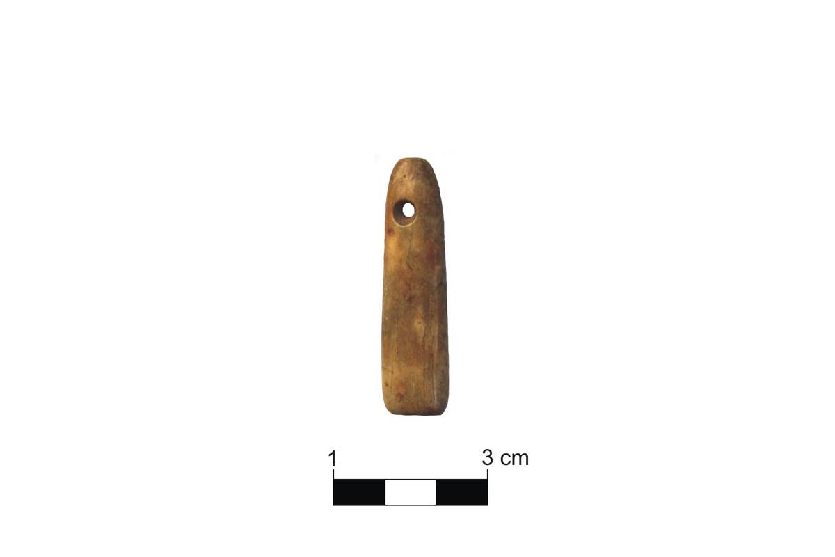
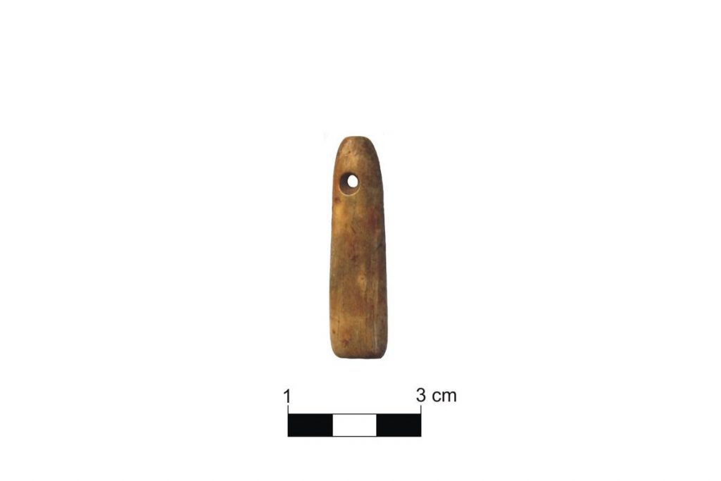
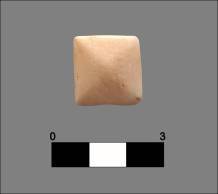
The Cova Gran de Can Ballester is one of the most important Neolithic sites between the Millars and Palància river valleys. Recent studies of materials recovered during the 1970s interventions have identified pottery decorated in various styles, including cardial impressions made with shells, gradina comb-patterns, and incised-impressed motifs, all dating back to the Early Neolithic (between 5,600 and 4,500 BCE).Concurrently, lithic industries remained in use, yielding scrapers, blades, and burins knapped from flint, alongside worked bone items, primarily awls and necklace beads.
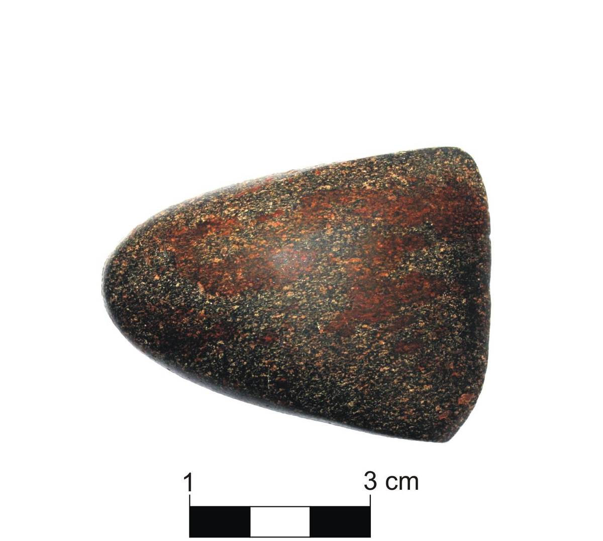
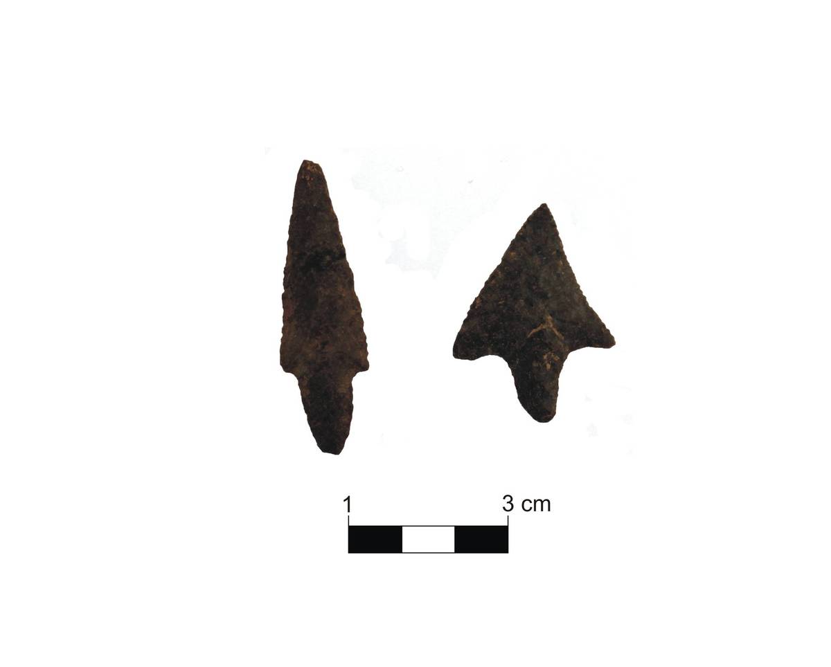
During the Eneolithic or Chalcolithic (3,000–2,000 BCE), several changes occurred in pottery production. Open-air settlements increased, and the use of caves as collective burial sites became widespread, a ritual practice exemplified at the Cova dels Blaus. The use of metals, specifically copper, also began during this era. The Cova de Can Ballester continued to be occupied as a living space during this period.
Images of the Neolithic – Chalcolithic
2nd millennium BCE
4. Bronze Age
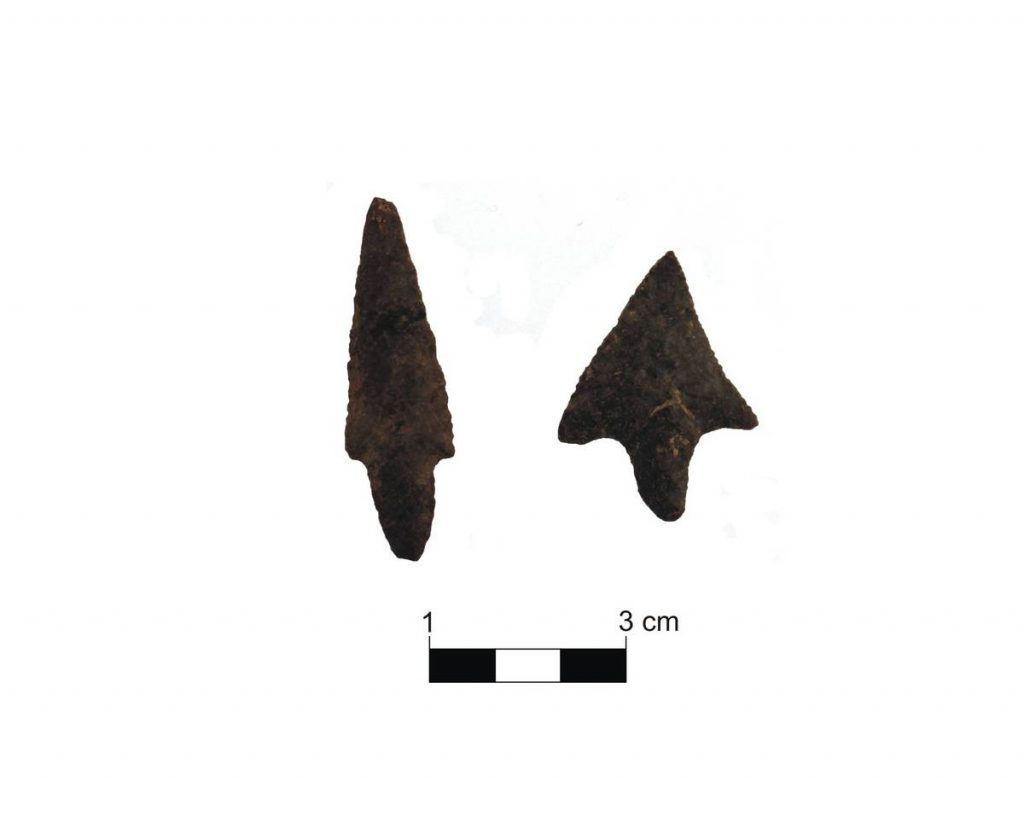
The Bronze Age developed during the 2nd millennium BCE. Regional studies of the area between the Millars and Palància rivers confirm a shift in settlement patterns: populations moved from plains and valleys to establish themselves on hilltops, likely due to the emergence of new territorial management models. An established territorial organization is visible, structured around areas where settlements concentrated.
At the most thoroughly studied sites, the economic base consisted of cereal farming—with some irrigated plots—alongside sheep and goat herding. Pigs were also present, while oxen and horses were used as draft and pack animals. Although hunting helped supplement the diet, the archaeological record displays remains of wild goats, deer, and rabbits. Metal objects were already known by this time. Burials continued to take place in multiple-inhumation caves located in areas surrounding the settlements.
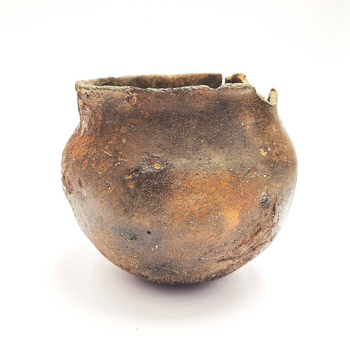
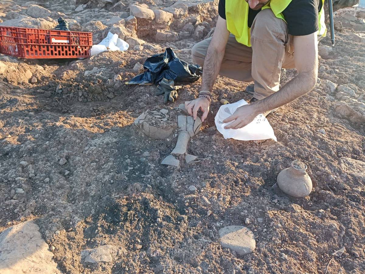
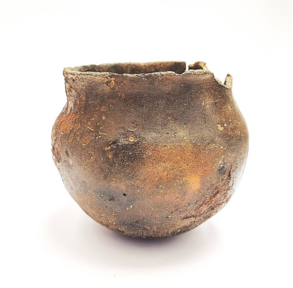
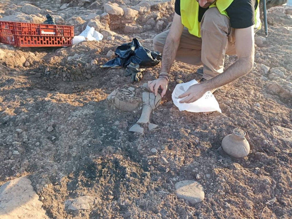
At the Cova de Sant Josep, an occupation from the early stages of the Bronze Age was documented. It was likely during this phase that a ceramic vessel was hidden within a difficult-to-access crevice, which was discovered during a cave exploration in 2020. Overall, the Bronze Age within the current municipal boundaries of La Vall d’Uixó is characterized by the appearance of a large number of settlements grouped across five distinct zones.
Images of the Bronze Age
8th–6th centuries BCE
5. Early Iron Age
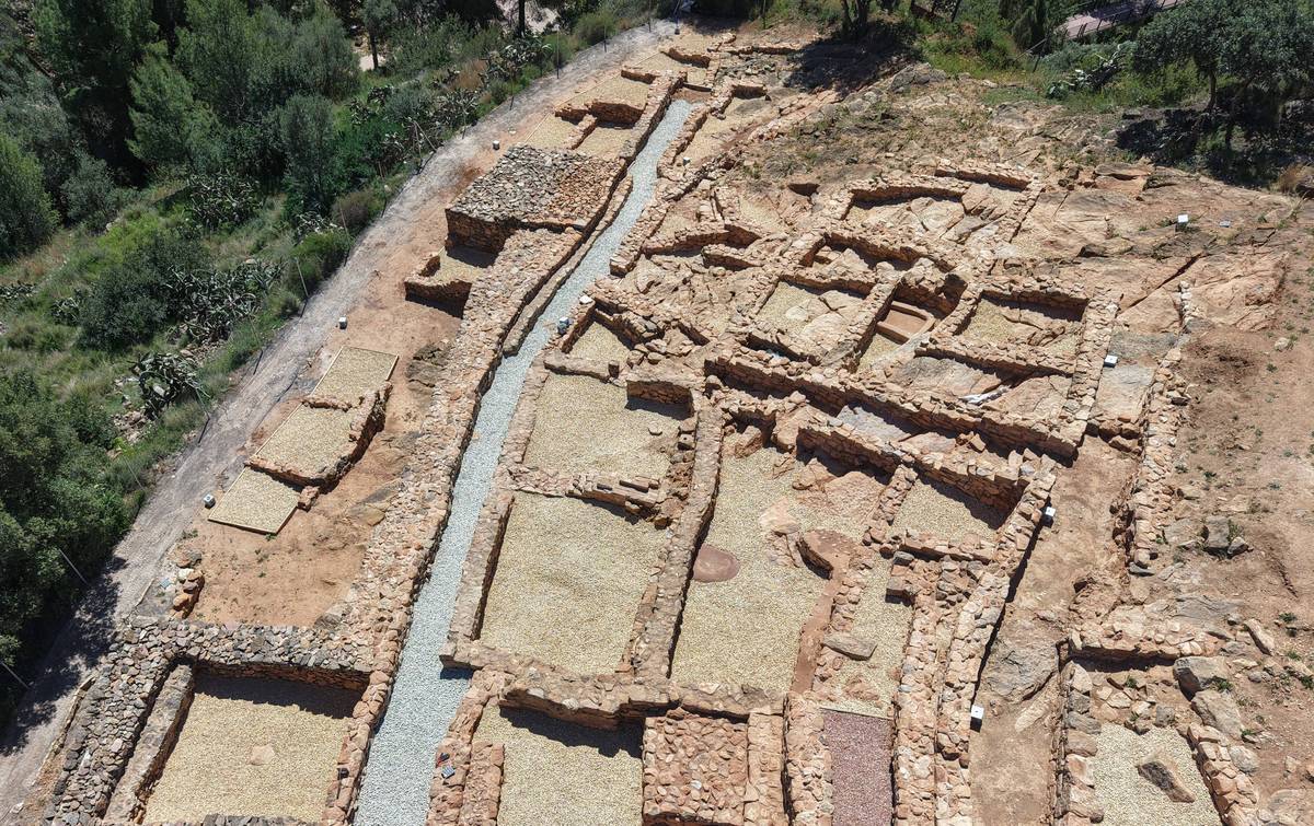
The Early Iron Age spans from the mid-8th century BCE to the mid-6th century BCE. This phase underwent a series of transformations brought about by the introduction of new materials, such as iron metallurgy and the potter's wheel, resulting from contact with Mediterranean peoples—especially the Phoenicians, who settled in the southeastern Iberian Peninsula. It was during this period that the occupation of the summit of the Sant Josep hill began. Recent excavations have documented an initial phase characterized by the construction of houses on the summit and eastern slope, as well as a tower on the western slope, which provided visual control over the course of the Belcaire River toward the interior of the Serra d'Espadà and across the valley toward the coastal plain.
However, the most important site from this period in La Vall d’Uixó is the Poblat de la Torrassa, strategically located near of several copper, lead, and iron mines, such as the Campoy mines hill. Notable too is the presence of Phoenician pottery at these sites, which provides clear evidence of commercial exchange with populations settled in the southeastern peninsula.
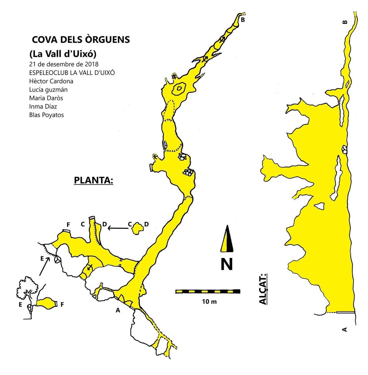
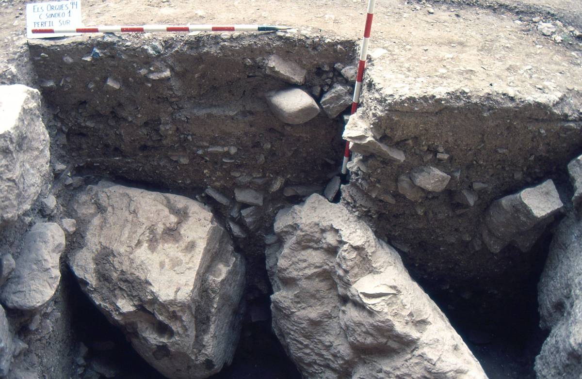
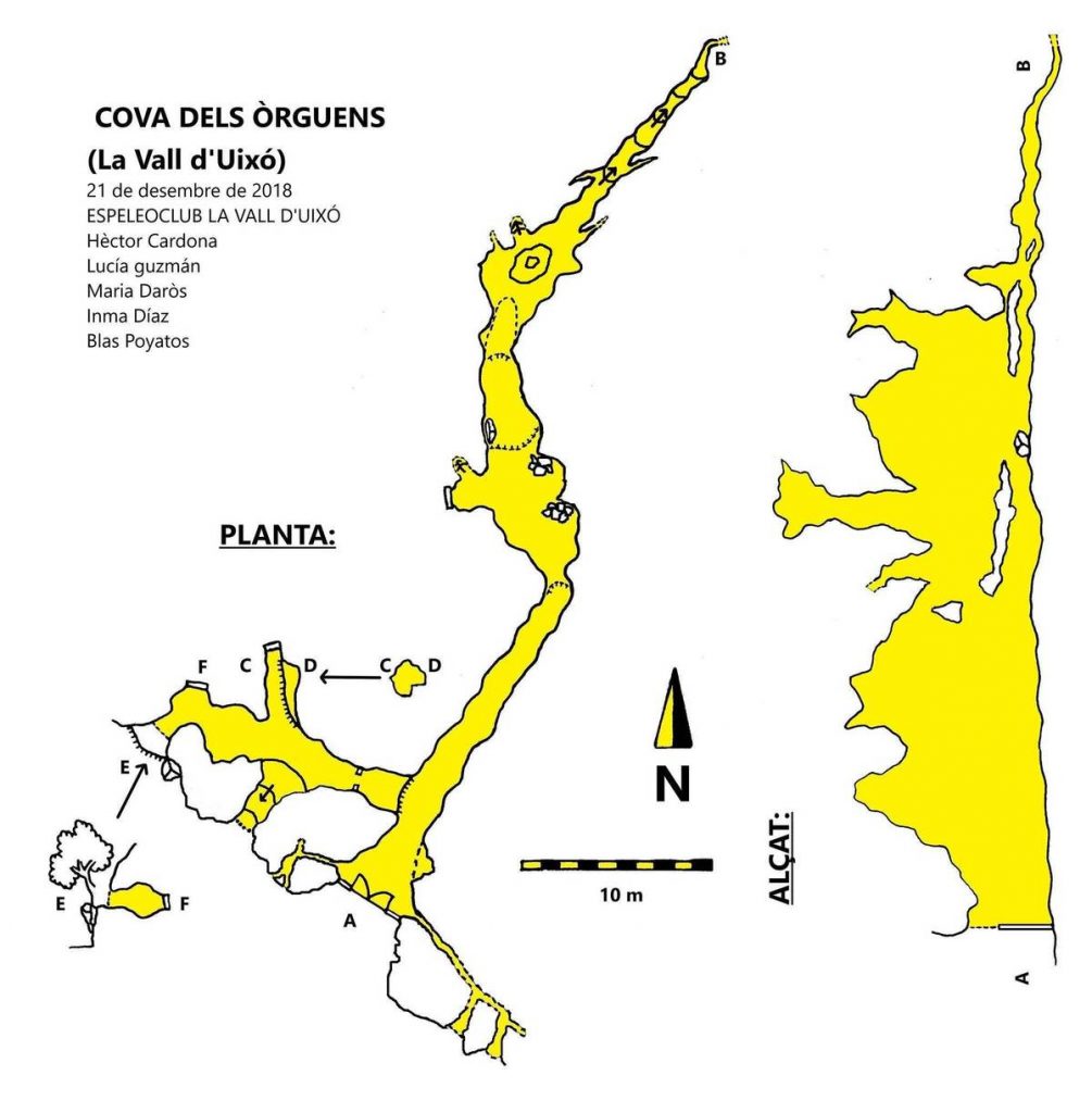
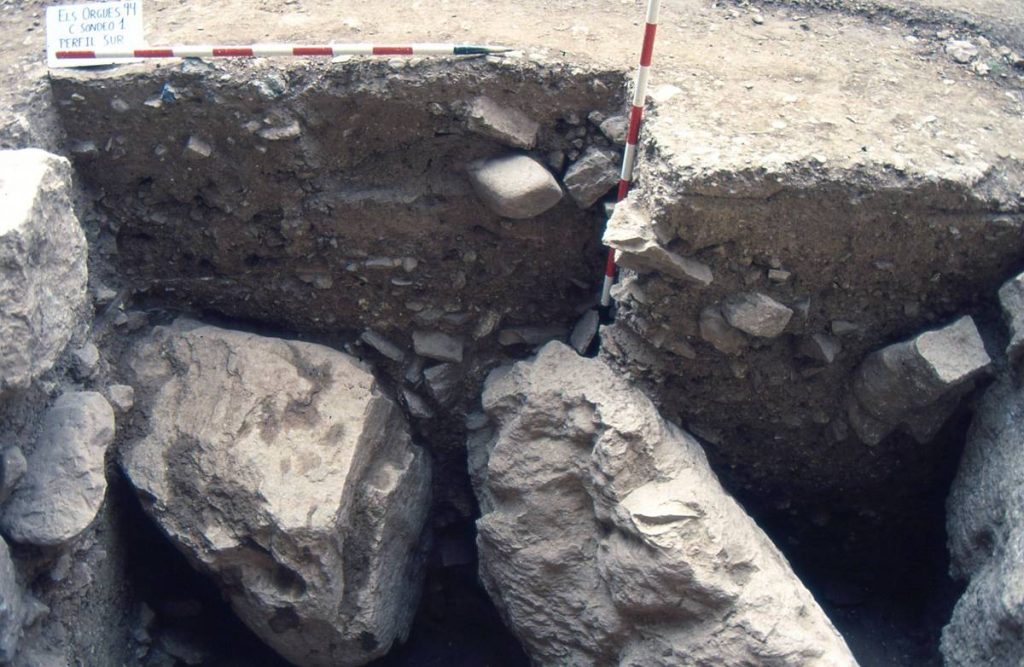
This phase may also be represented at the Cova dels Orgues, located on the western slope of the hill. In the archaeological excavation carried out in 1994 at the cave entrance, three occupation phases were documented. The most recent belong to the Iberian period, while the oldest is characterized by handmade pottery, which could correspond to the Late Bronze Age or the Early Iron Age.
Images of the Early Iron Age
6th–1st centuries BCE
6. Iberian Period
Iberian culture developed along the Mediterranean coast and the southern Iberian Peninsula between the mid-6th century BCE and the 1st century BCE. Historical sources refer to different tribes that were likely organized around cities that controlled specific territories, which in turn included smaller settlements. It was a complex society with an economy specialized in activities like agriculture, livestock herding, craftsmanship, and trade.
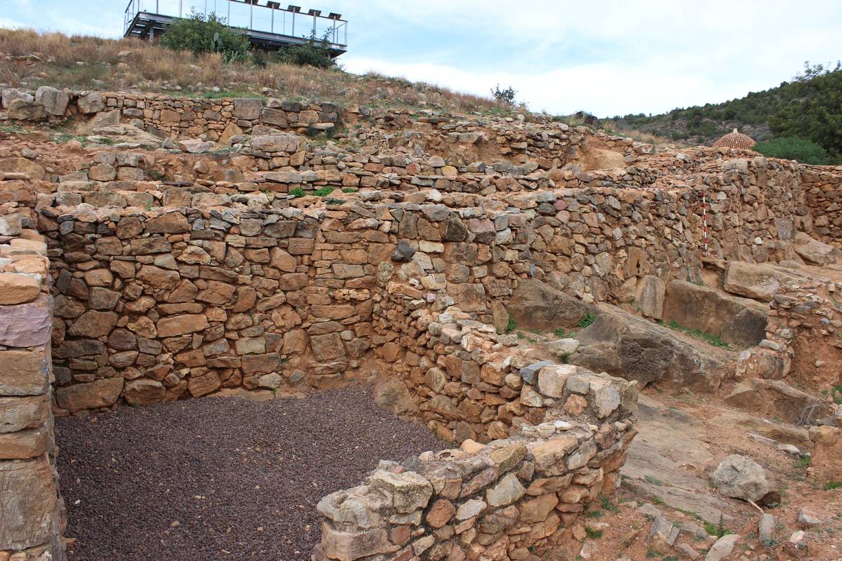
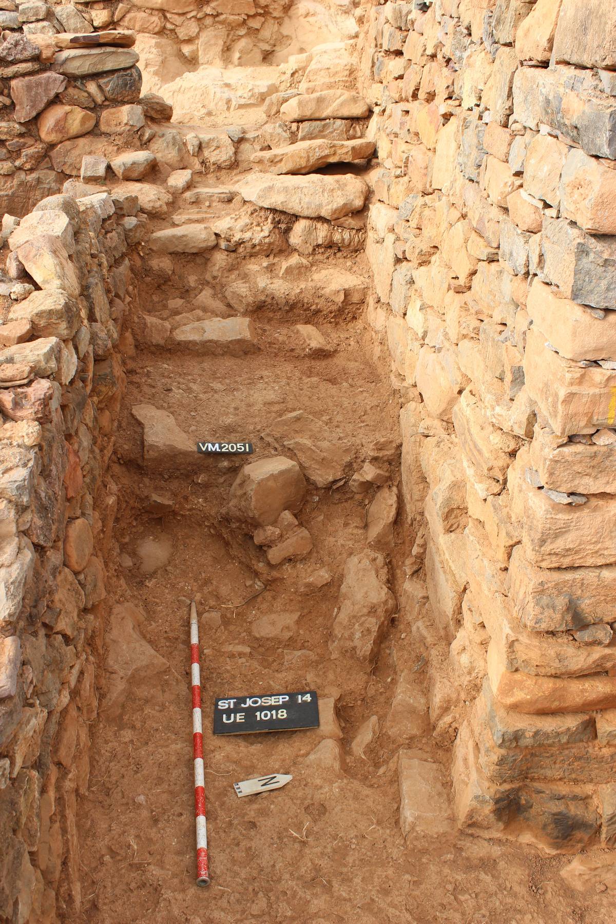
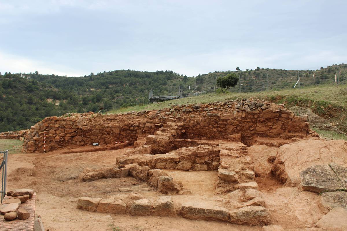
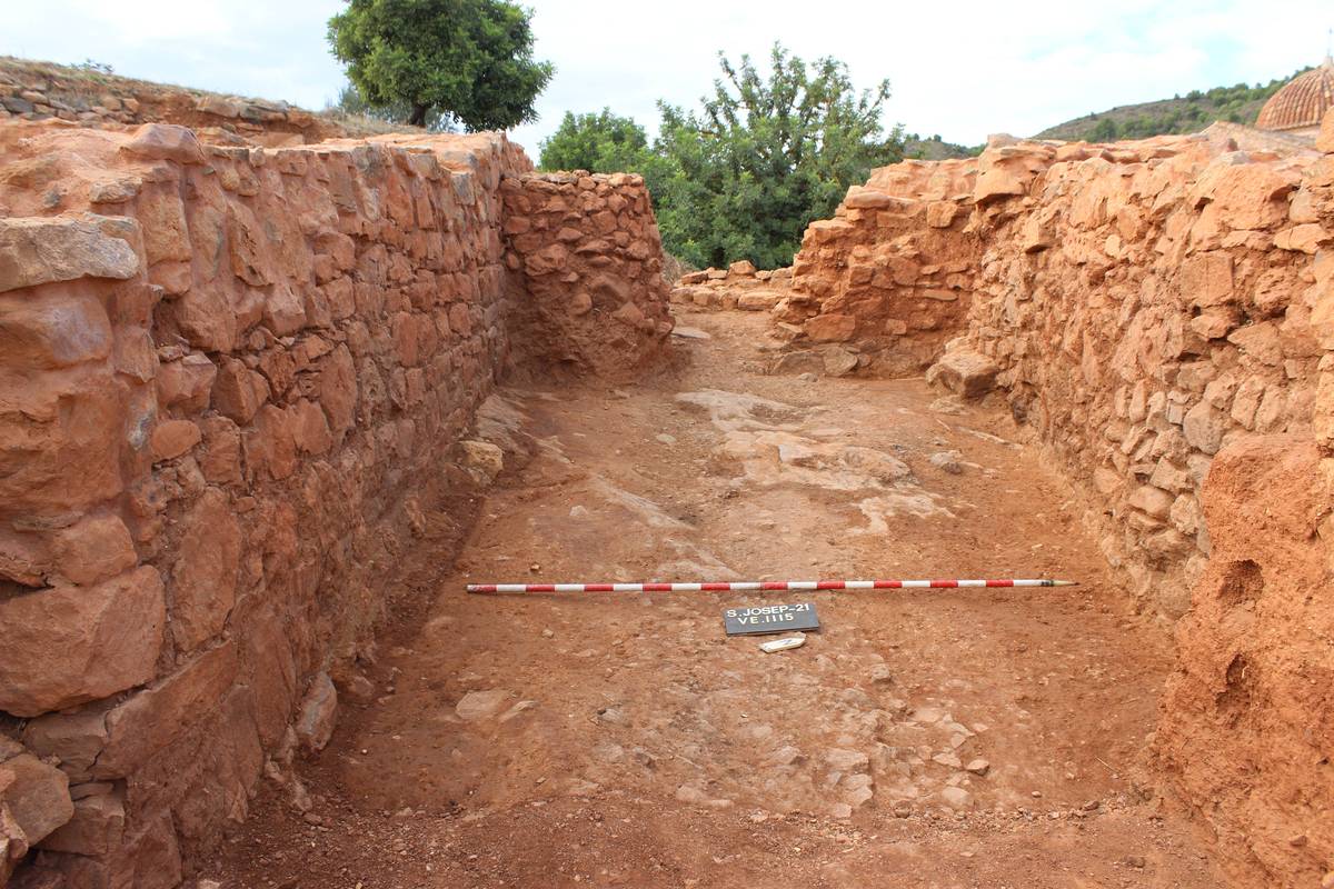
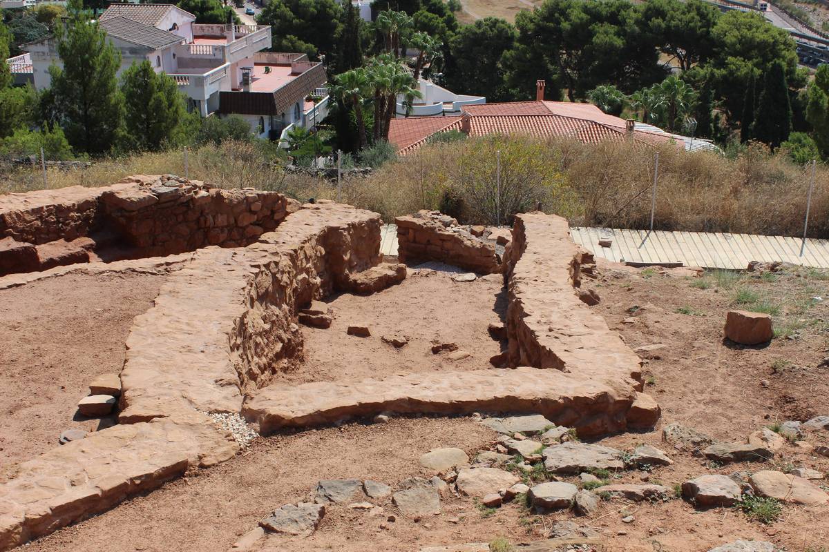
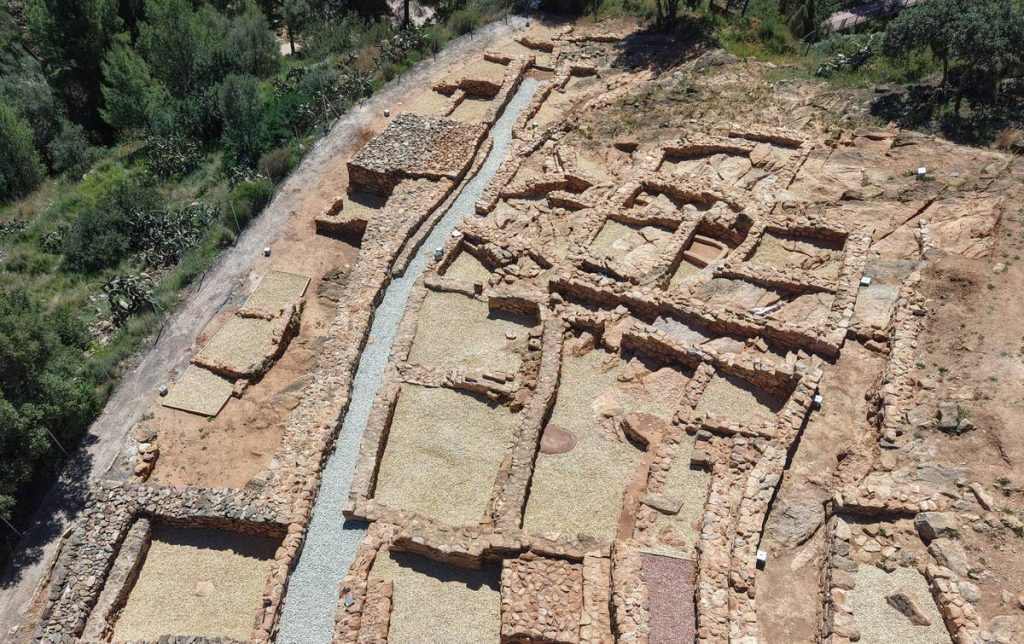
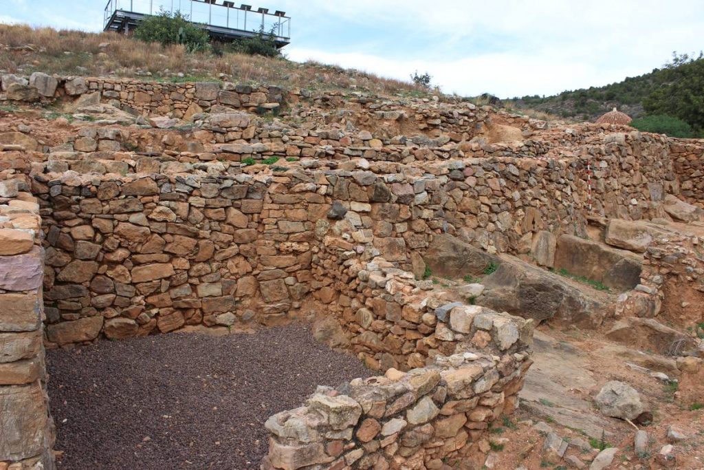
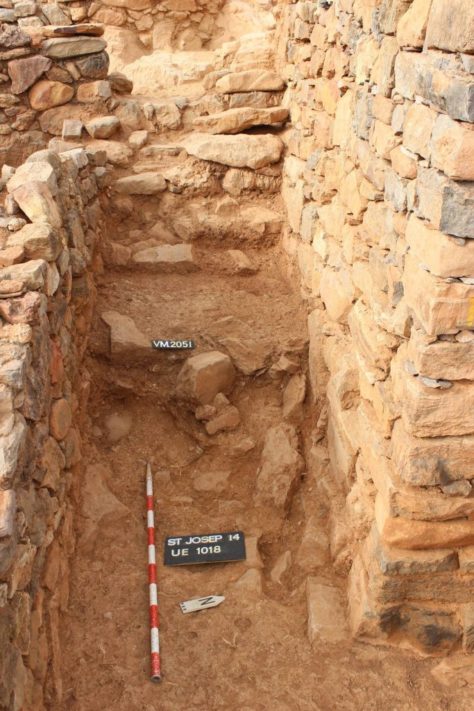
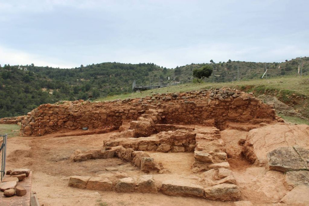
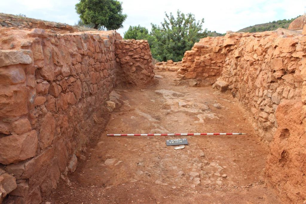
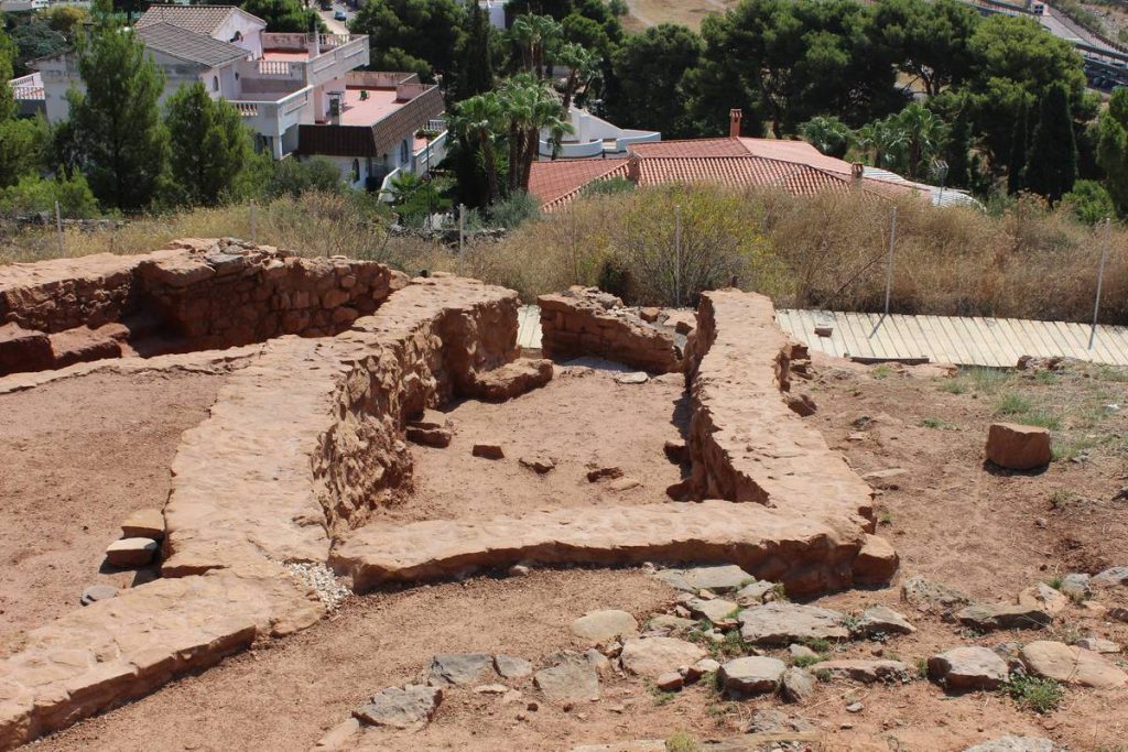
Studies carried out on this period suggest that within the present-day boundaries of La Vall d’Uixó, there was a central city, Punta d'Orlell, which acted as the hub of territorial organization. One of the most important secondary sites within this territory was the Poblat de Sant Josep—a small oppidum (fortified town) with a defensive system consisting of a wall reinforced by three towers, though the caves on the western slope, mainly the Cova de Can Ballester, were also used. The interior urban layout was distributed across different terraces where blocks of houses were grouped, separated by narrow streets that fitted with steps to adapt to the uneven terrain. The site was occupied throughout the entire Iberian period, undergoing several phases of urban renovation and expansion, most notably one at the end of the 3rd century BCE, to which the best-preserved structures visible today belong.
Archaeological excavations at the site have identified its main economic activities: agriculture, livestock farming, textile production, metallurgy, and trade.
Images of the Iberian Period
Romanisation and Late Empire
7. Roman Period
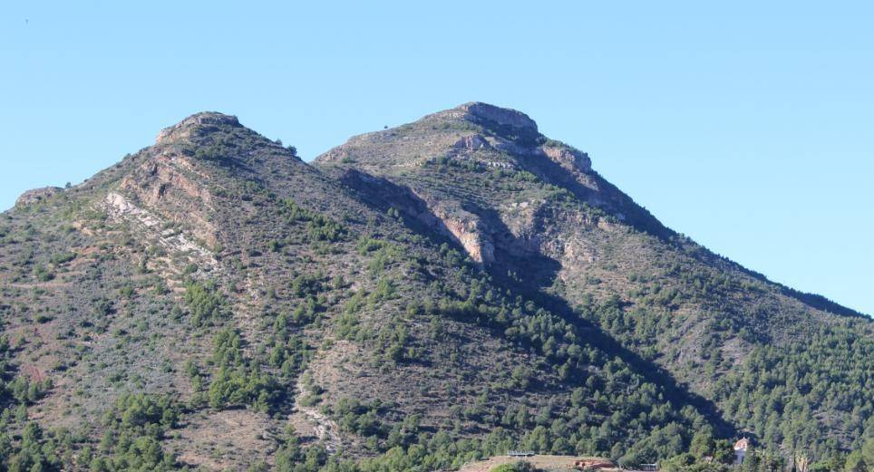
With the Romanization of present-day La Vall d’Uixó, the population shifted from the hilltops to the plains, where various villas dedicated to agricultural and livestock production were established—such as the Villa d’Uixó or the Villa de Orlell, both linked to the agricultural territory of the city of Saguntum. Food processing and pottery production were also carried out at these villas. One significant find is the ritual deposit of Pipa, documented in a crevice on the cliff face of the mountain opposite Sant Josep hill. Consisting of many oil lamps, it may be associated with a cult devoted to nature.
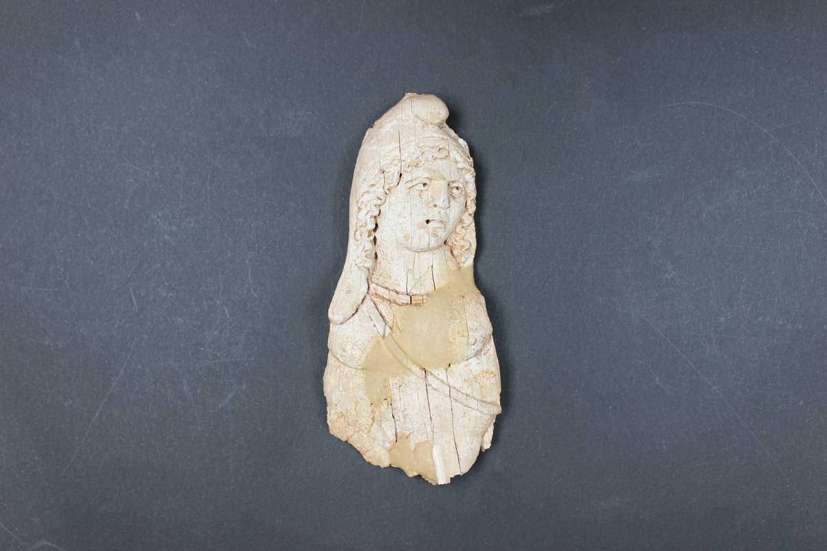
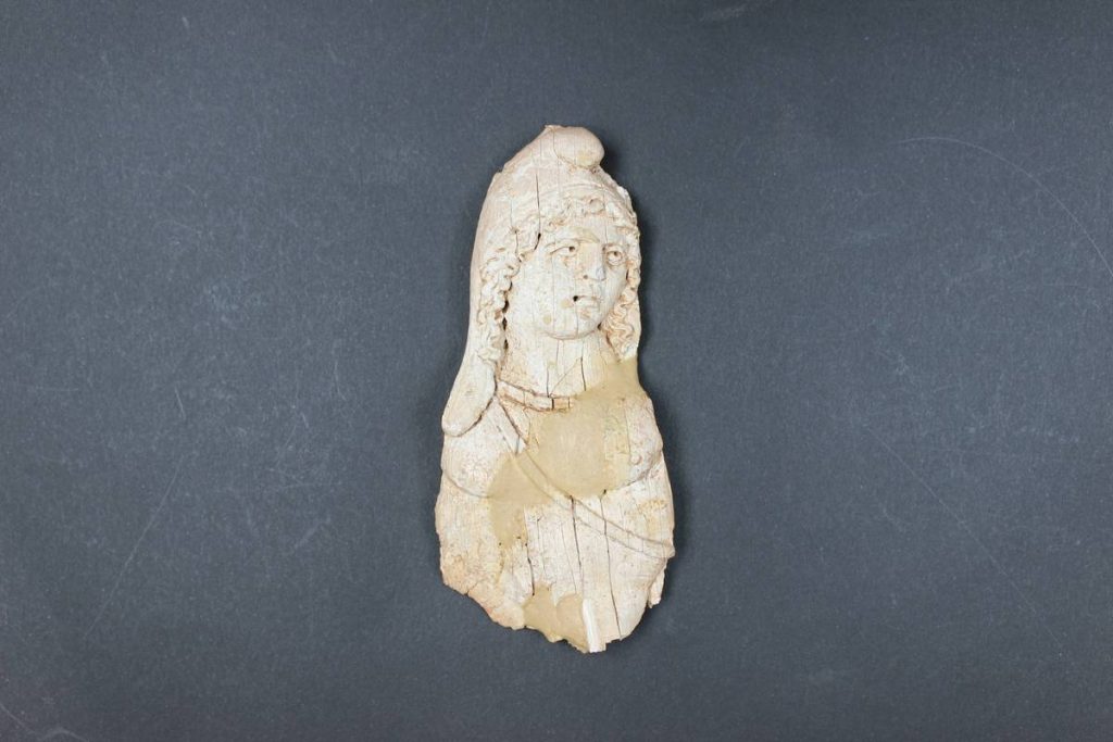
The Sant Josep hill ceased to be permanently occupied, though it was frequently visited, as demonstrated by the archaeological materials documented at the site. It was not until the Late Roman Imperial period that a permanent settlement was re-established there. This caused the destruction of parts of the Iberian-era buildings and led to the reuse of certain structures, such as the northern wall, which was reinforced to create an entrance gate. Storehouses and open-air spaces used for various activities have been documented, highlighting the existence of a metallurgical furnace where iron and bronze objects were produced. Although the structures from this phase are poorly preserved, the high quality of the ceramic, metallic, stone, and worked bone materials confirms the site’s importance as one of the most significant archaeological contexts of this period in the Plana Baixa region.
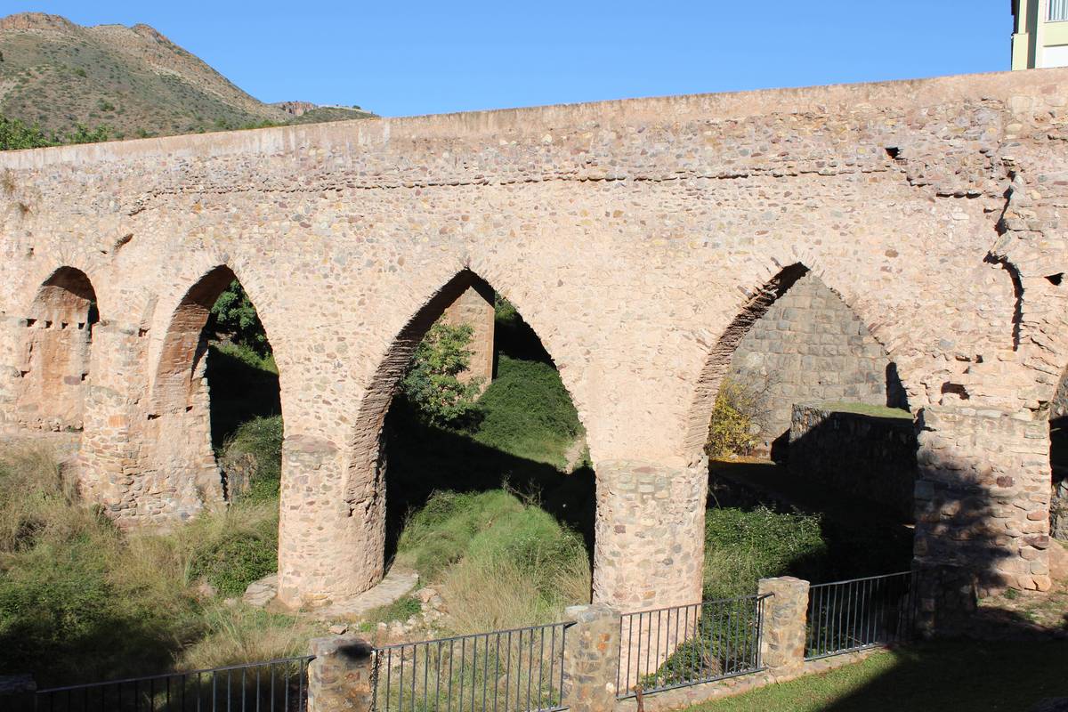
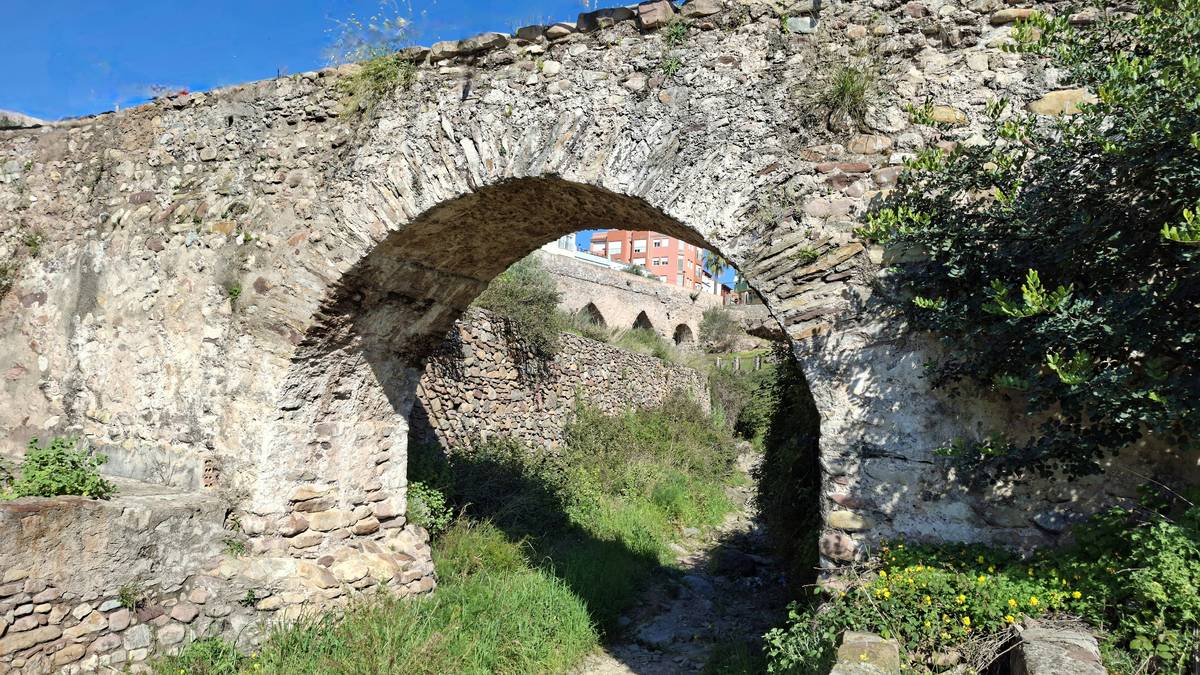
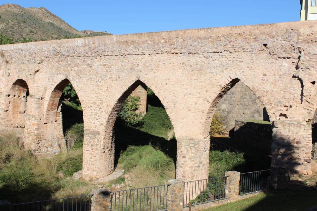
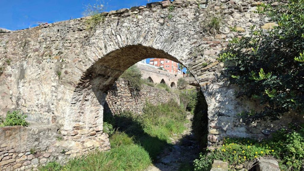
However, the most outstanding Roman engineering achievement is the construction of the aqueduct— known as the Sant Josep Aqueduct or the Séquia Major. This channel carried water from the Sant Josep Spring to the inhabited and agricultural areas located to the east. The exact route during the Roman era remains unknown; only the remains of the bridge crossing the Aigualit ravine, east of the Sant Josep hill, have been documented. Although the bridge was renovated during the Middle Ages, the semicircular arches on its sides date back to this initial Roman construction.
Images of the Roman Period
9th–10th centuries
8. Middle Ages
The strategic location of the Sant Josep hill influenced its occupation during the Andalusi period. A small alquería (rural hamlet) was established over the Roman and Iberian remains, occupied between the 9th and 10th centuries. This represents the oldest Andalusi settlement in La Vall d’Uixó, alongside the Uixó Castle or Hisn de Shûn. Archaeological excavations have revealed a small hamlet of humble houses distributed across the summit and the eastern slope of the hill, yielding few movable finds but some in an excellent state of preservation, including jars, cooking pots, weaving tools, and other objects of daily life.
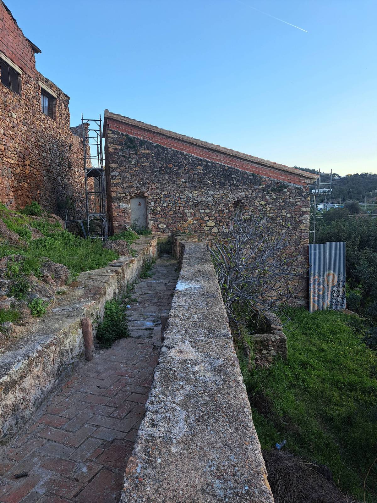
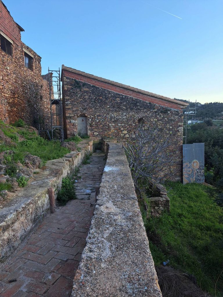
The Sant Josep Aqueduct, built in Roman times, was renovated and remained in use, becoming the axis around which the local settlements were distributed. The alquerías of L’Alcúdia, Benigafull, Seneja, Benissahat, Seneta, and Benigasló—which would later form the aljama (Moorish community) of Uixó and form the origin of the city's current urban center—settled from east to west along the Séquia Major. The water transported by the canal powered millstones, irrigated orchards, and supplied public baths.
Images of the Middle Ages
1609 and 17th–18th centuries
9. Early Modern Period
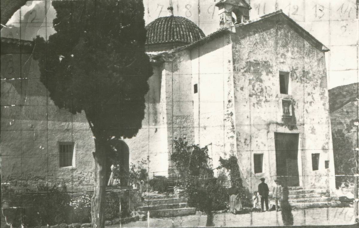
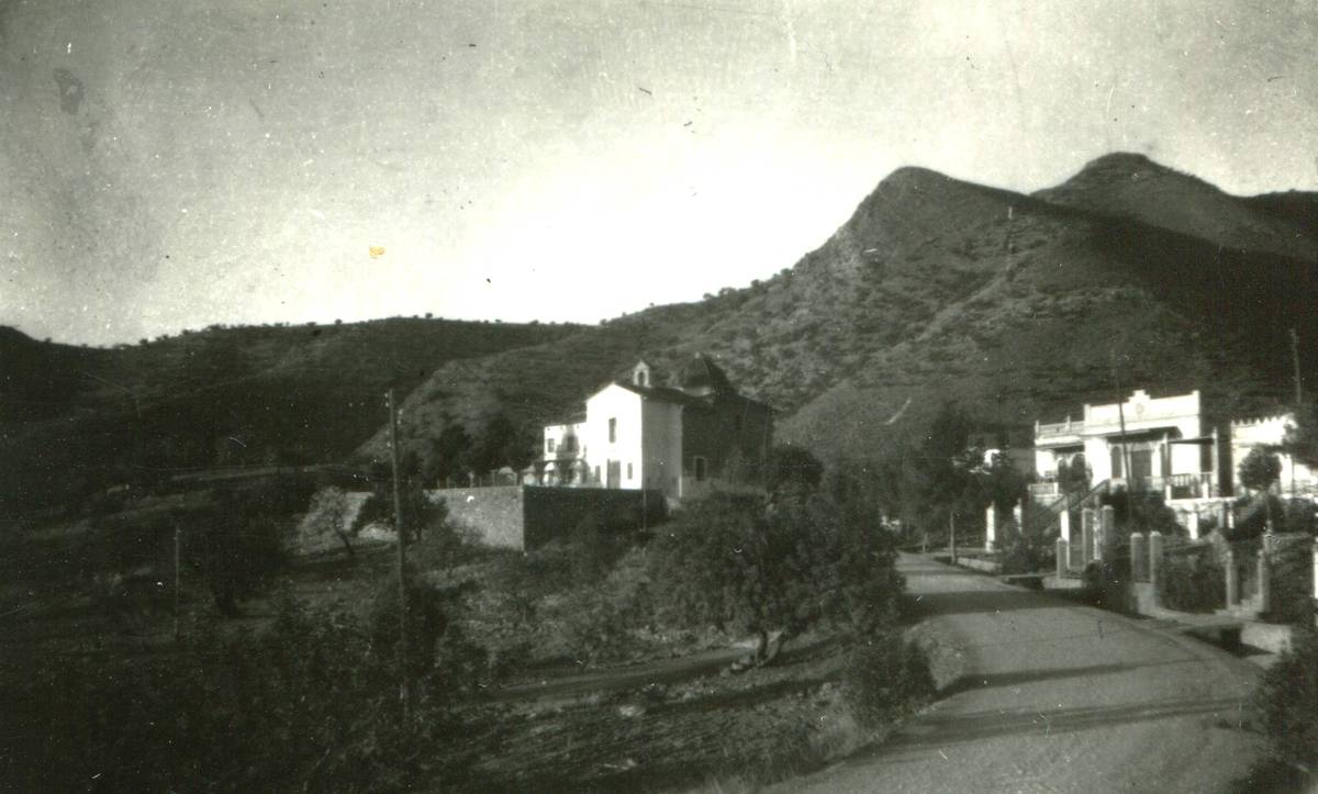
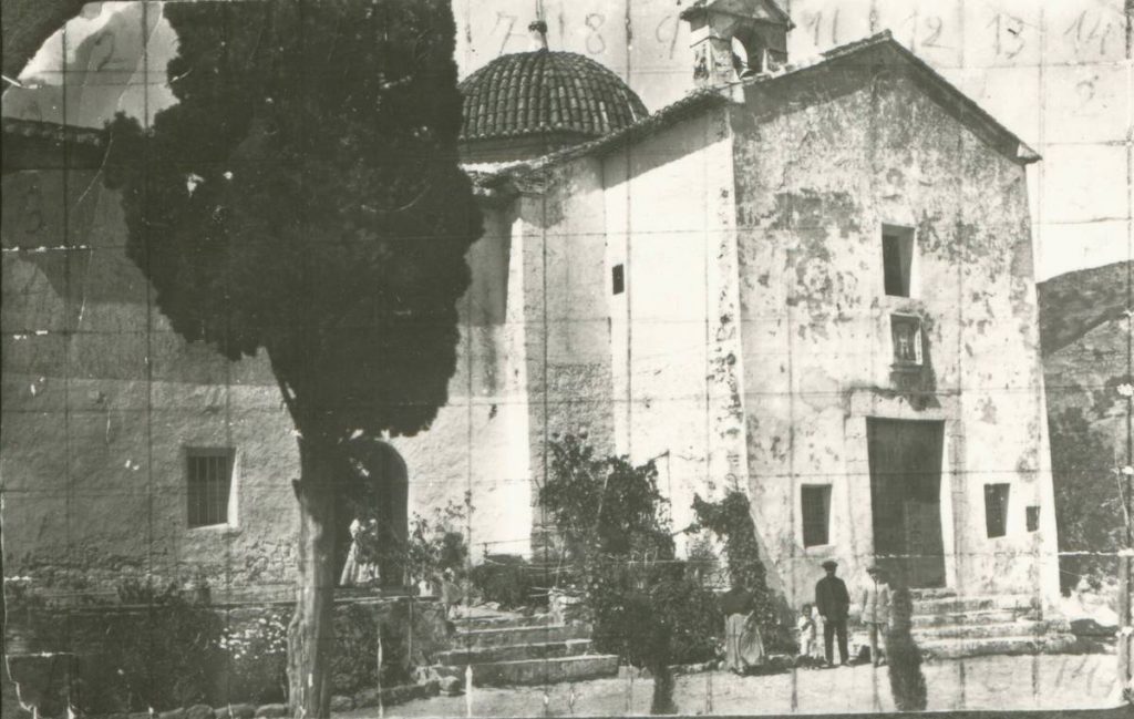
Following the expulsion of the Moriscos from La Vall d’Uixó in 1609, the rural hamlets were abandoned. During the 17th century, the Christian population gradually settled in the existing houses and resumed the cultivation of the previously abandoned land. The 17th and 18th centuries witnessed significant urban transformation, construction of new buildings being constructed—mainly religious ones, such as the Assumpció and Àngel churches, but also hermitages like the Sant Josep or Sagrada Família Hermitage, built at the northernmost edge of the Sant Josep hill.
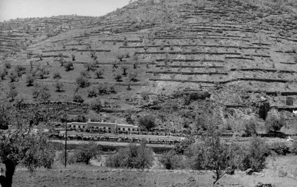
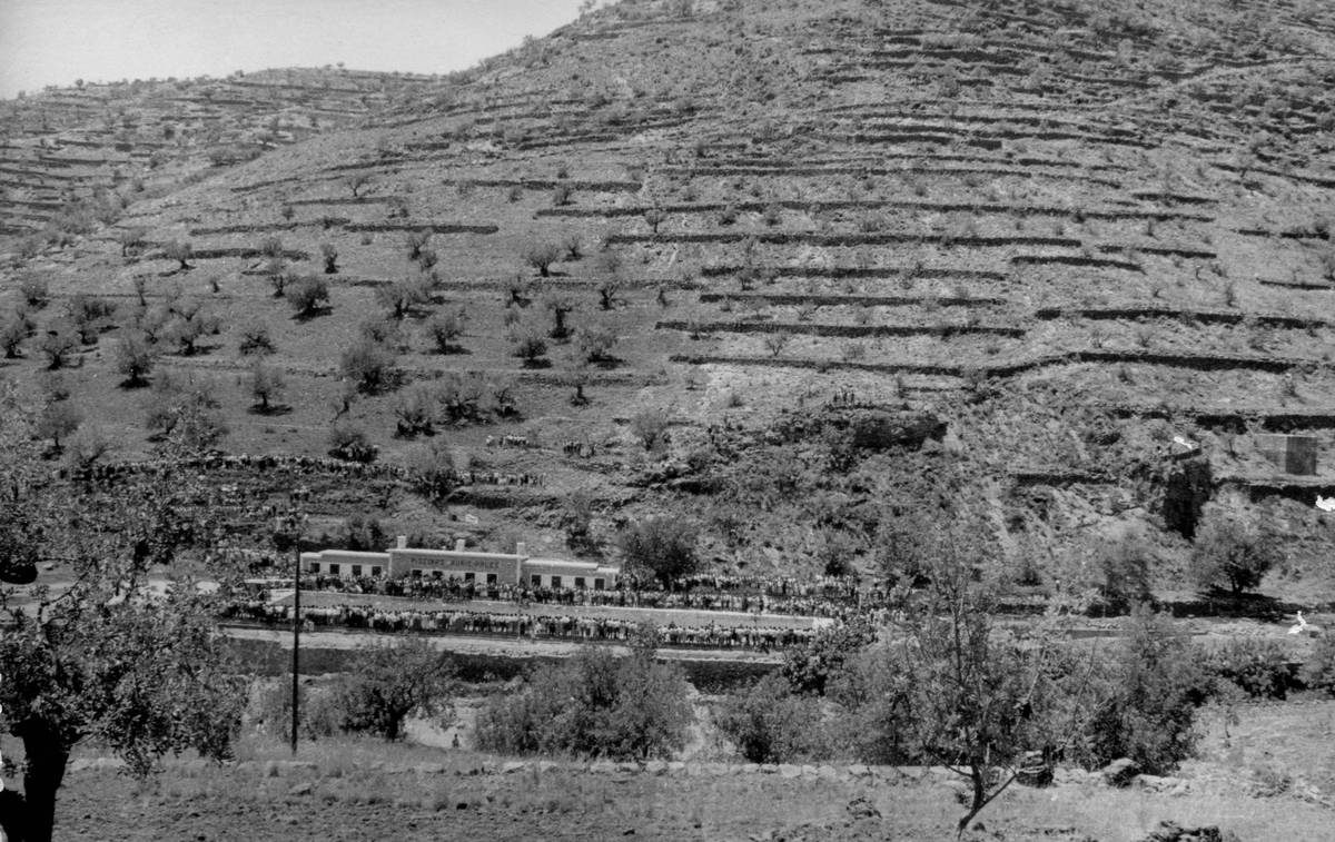
From this period onward, the Sant Josep hill was used for agricultural purposes. The terracing of the slopes allowed for the development of dryland farming, dominated by olive and carob trees.
Meanwhile, the water from the spring continued to flow through the Séquia Major, supplying the cisterns of Benigafull and the Plaça de l’Assumpció.
Images of the Early Modern Period
20th century – present day
10. Contemporary Period
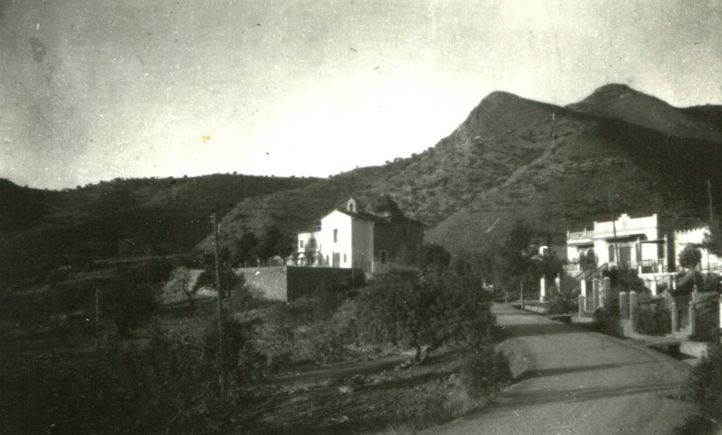
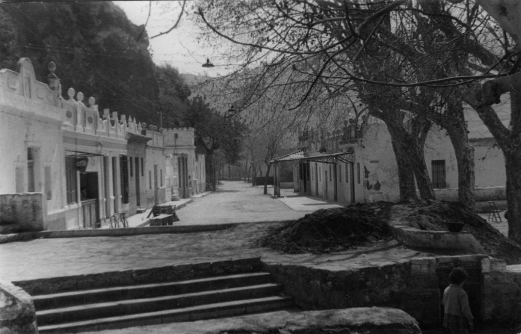
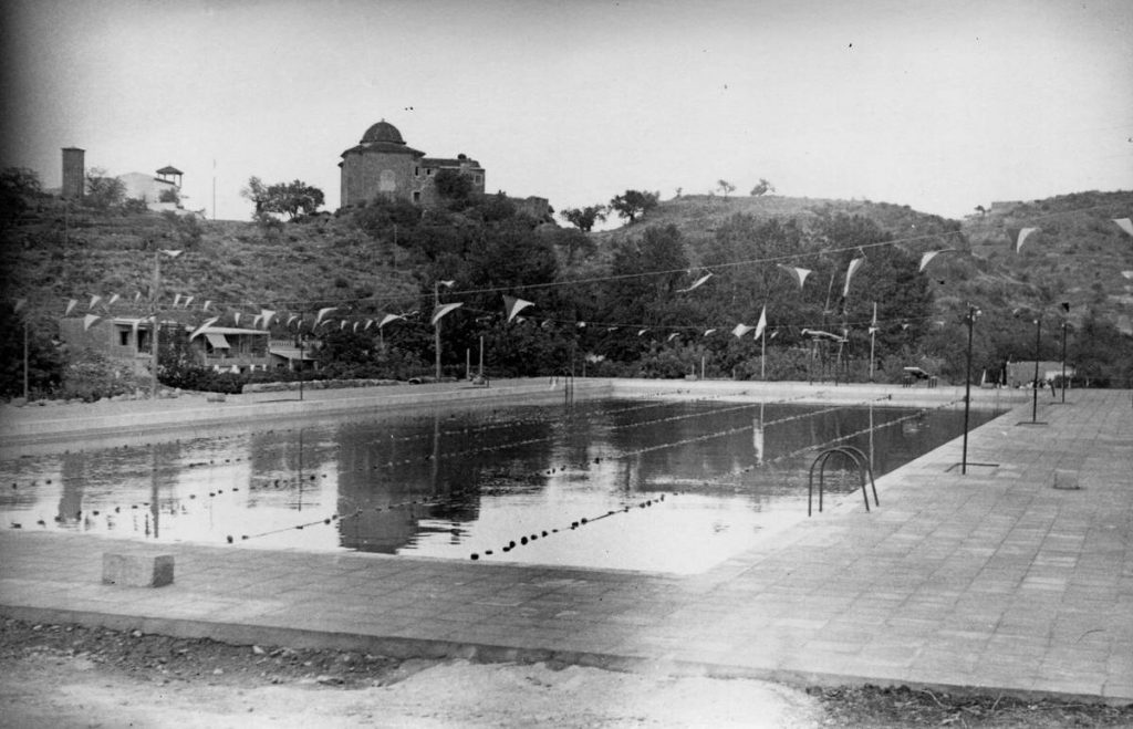
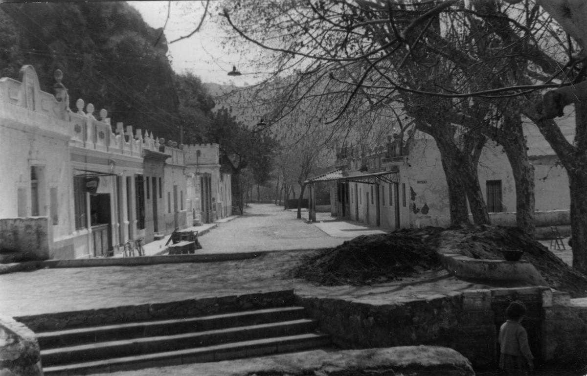
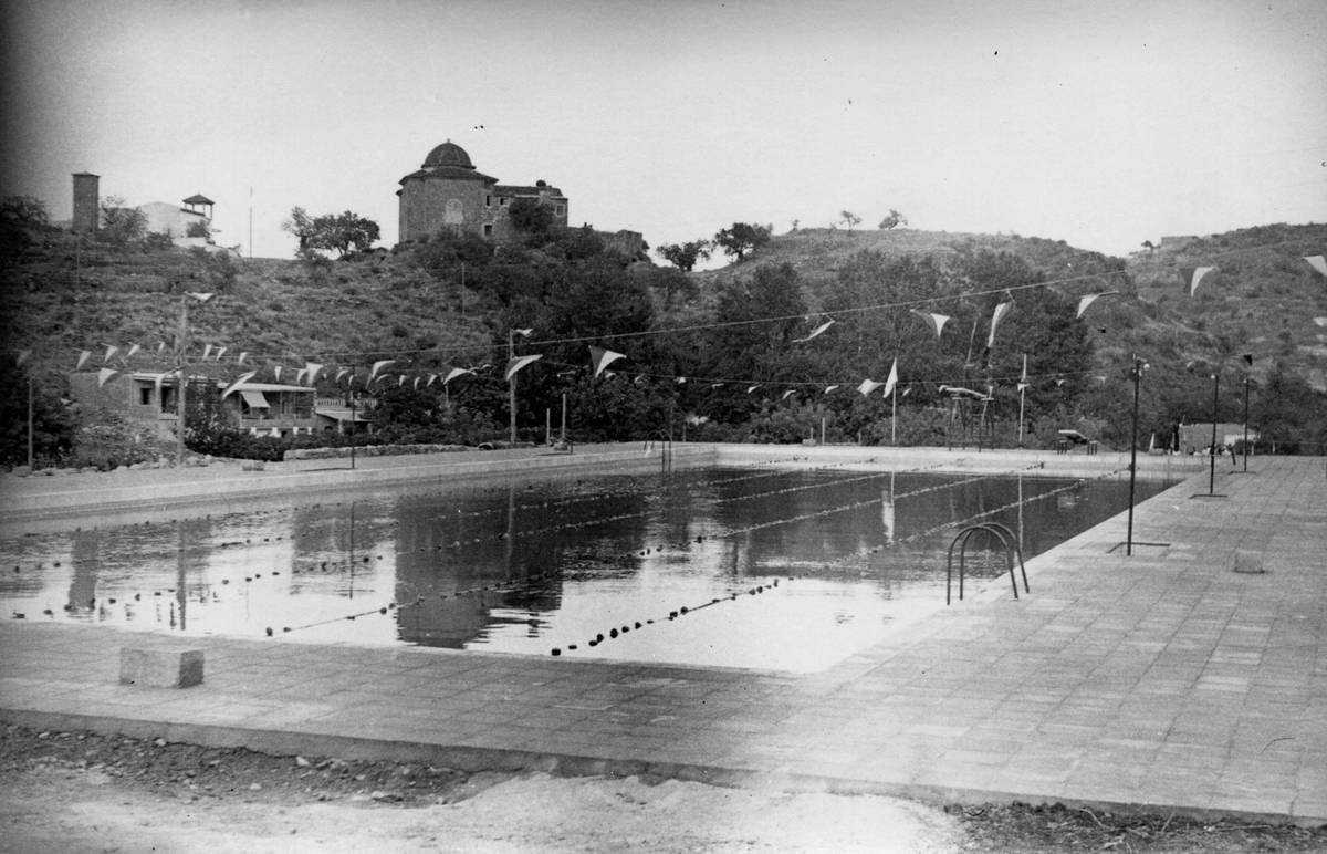
In contemporary times, the hill and the Sant Josep Spring became a recreational area and a meeting point where families and groups of friends would gather to stroll, have a snack, or enjoy lunch, especially during Easter and during the festivities of Sant Josep and the Sagrada Família. It also became popular summer holiday destination, leading to the construction of second homes. In addition, sports and leisure facilities were developed, such as the municipal swimming pool, and tourist visits began and continue to this day.